- 1300 88 5887 (KUTS)
- 8am - 5pm Mon - Fri
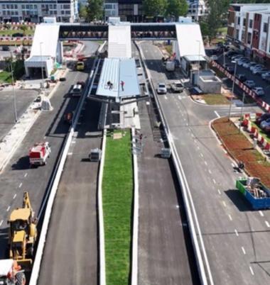
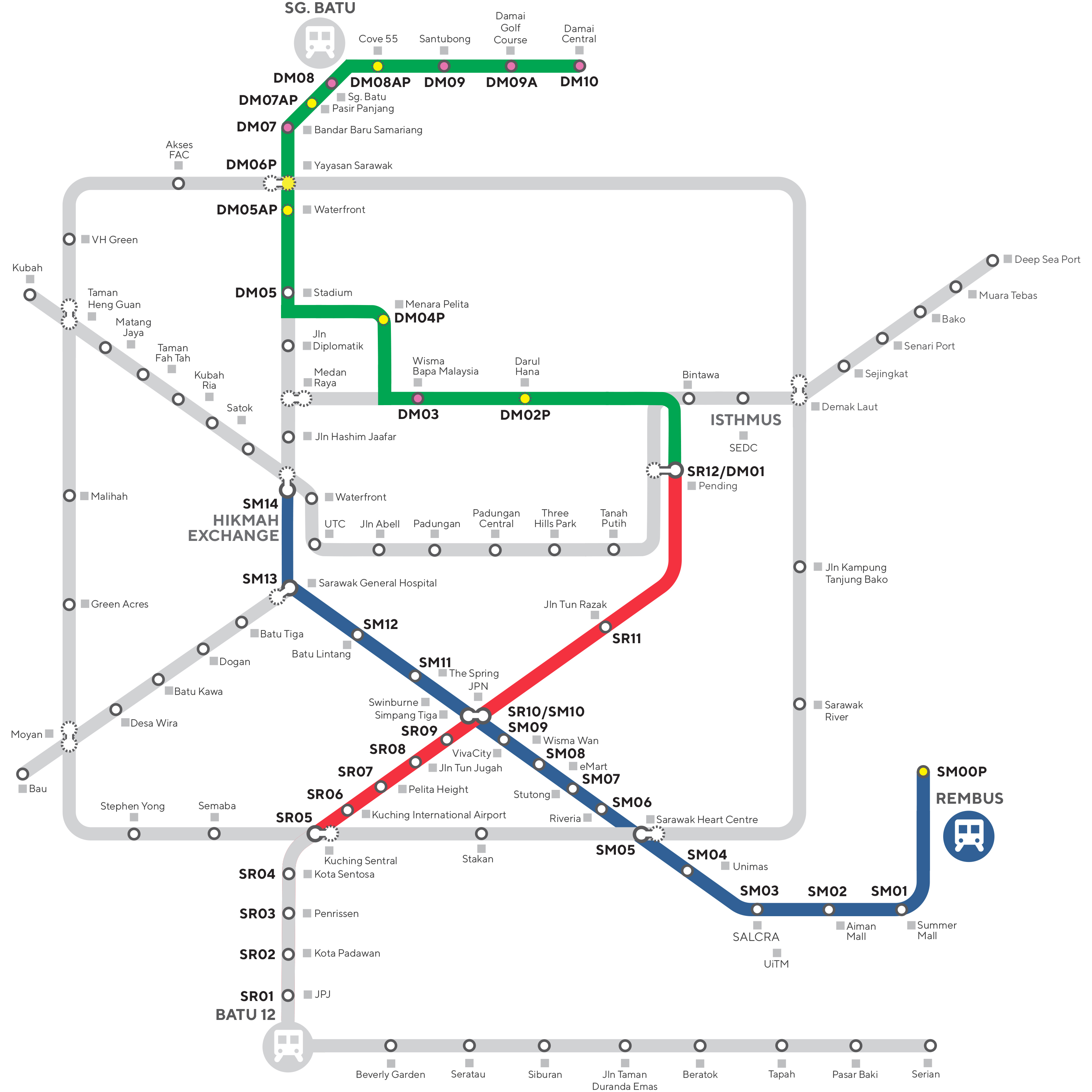
70km / hour
Runs on rubber tyres
Trackless articulated hydrogen fuel cell electric vehicle running on dedicated lanes
250 passengers
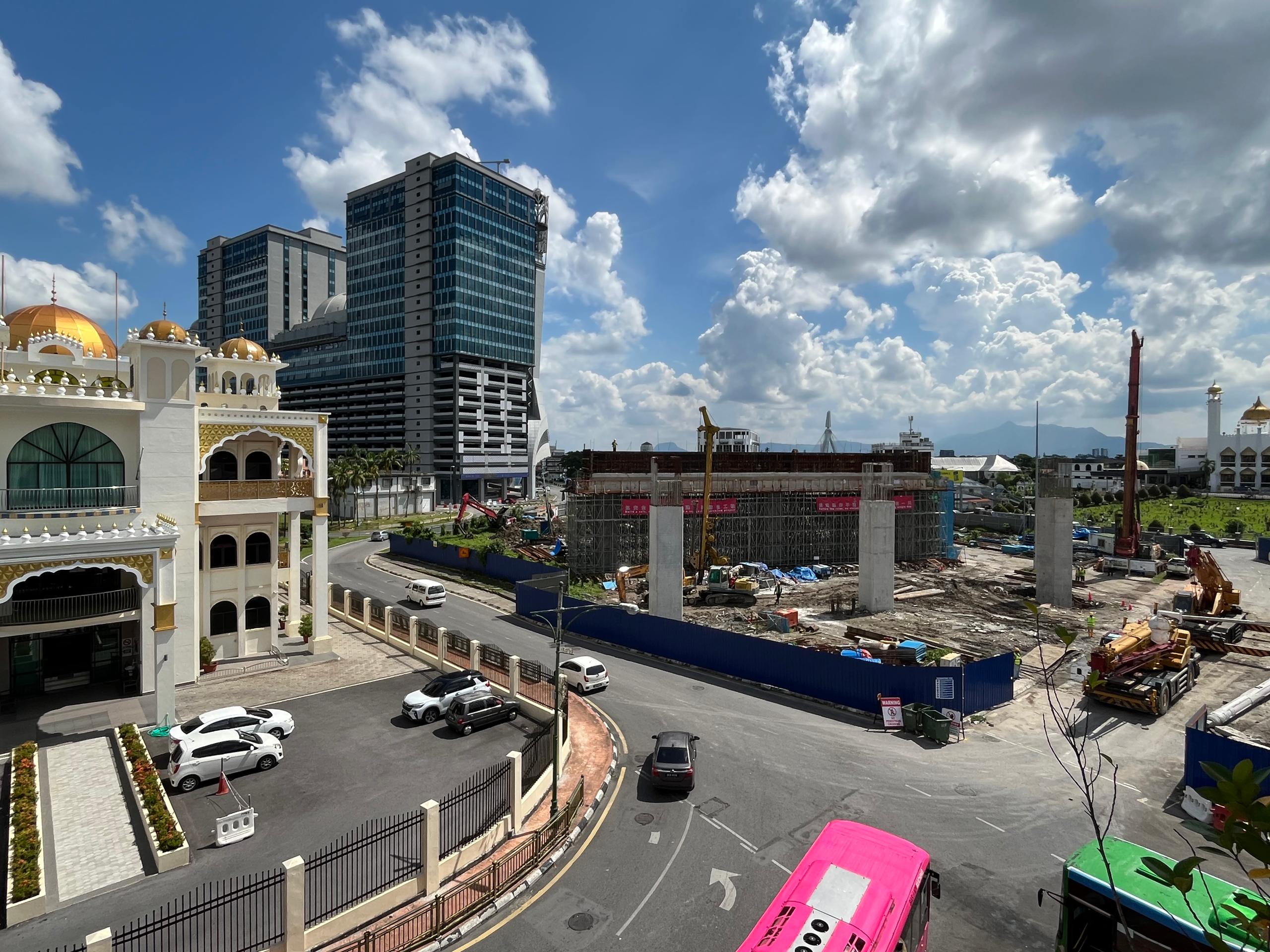
As Sarawak aspires to become a developed and high-income State by 2030, a reliable transport system is vital in mobilising greater productivity and economic growth.
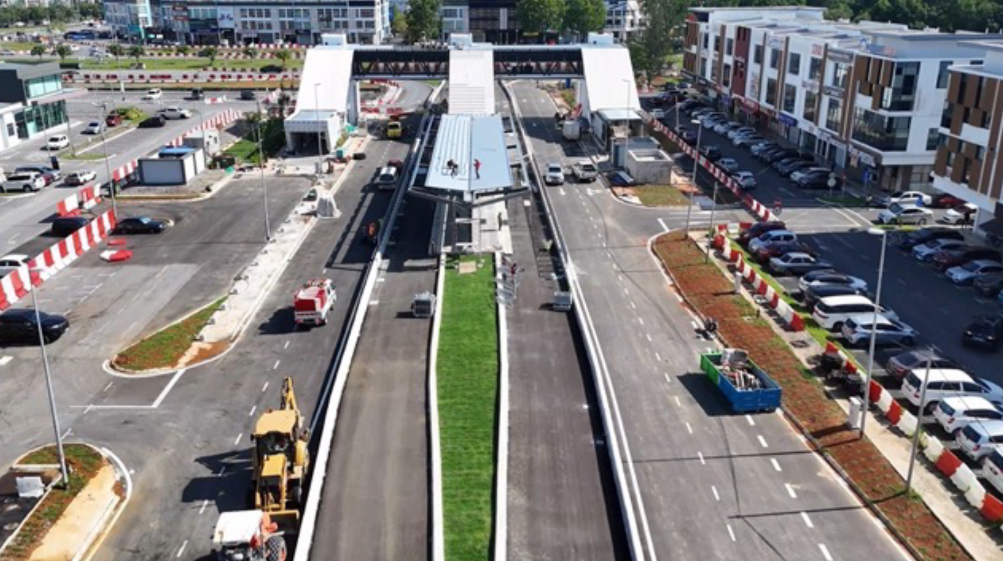
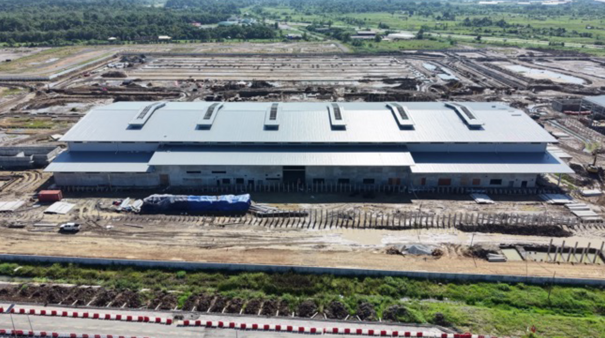
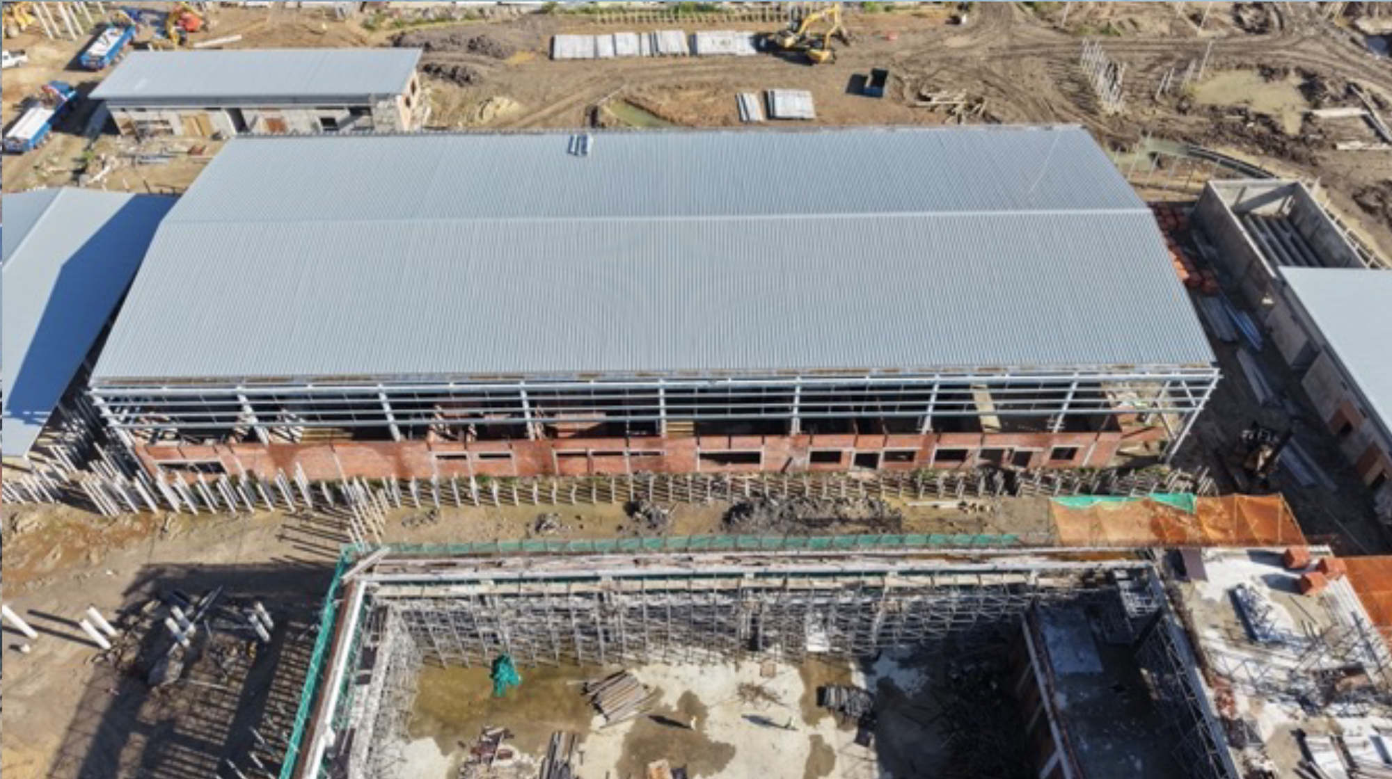
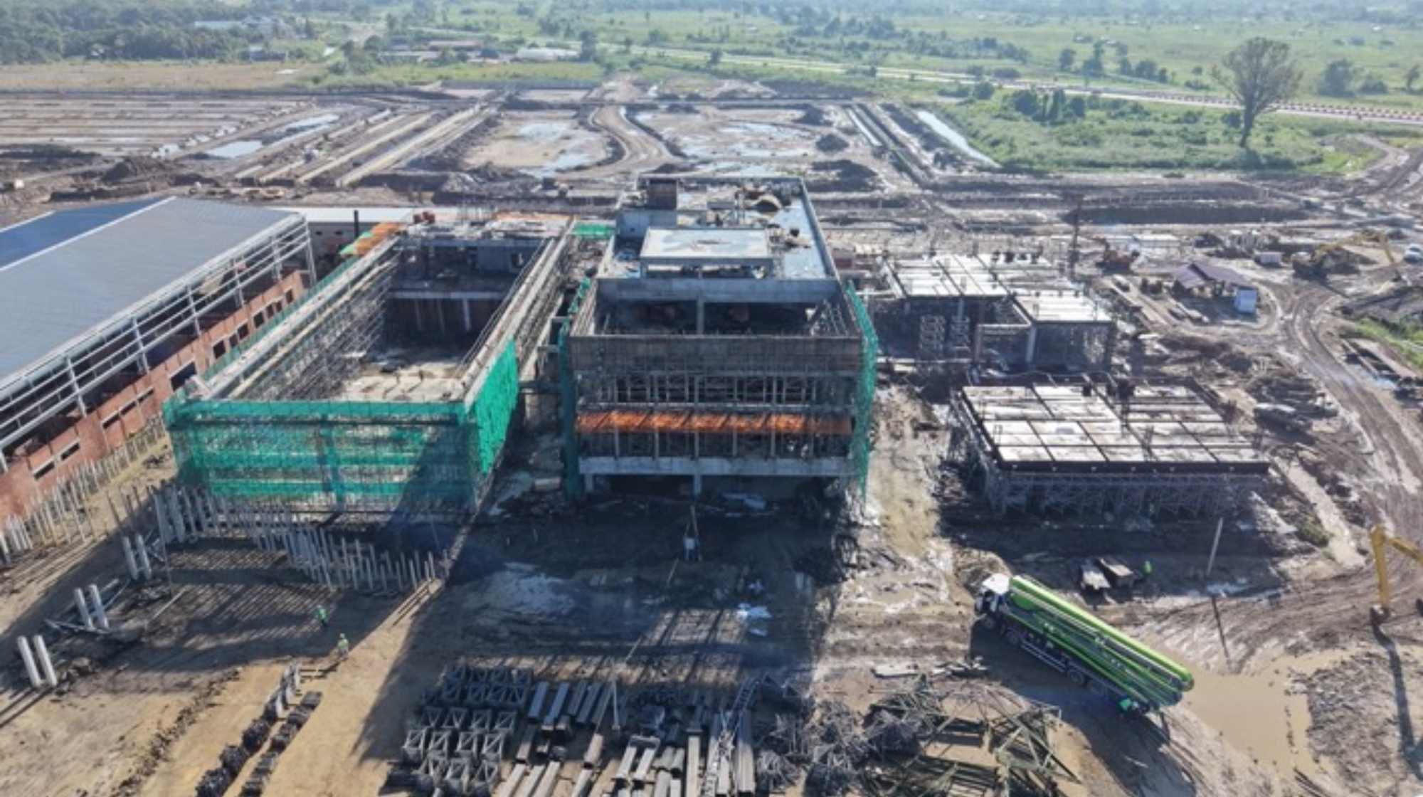
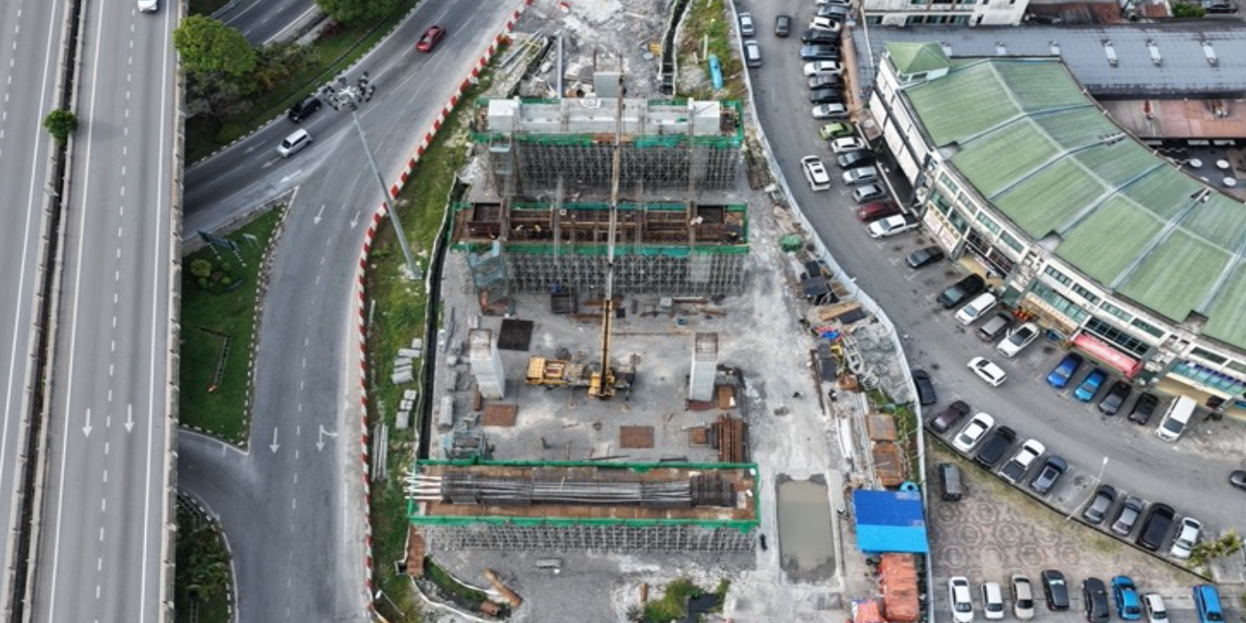
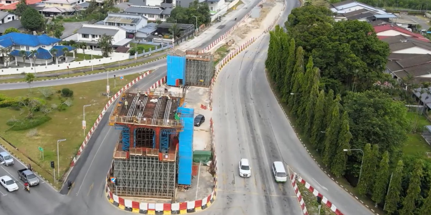
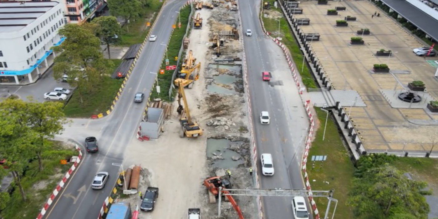
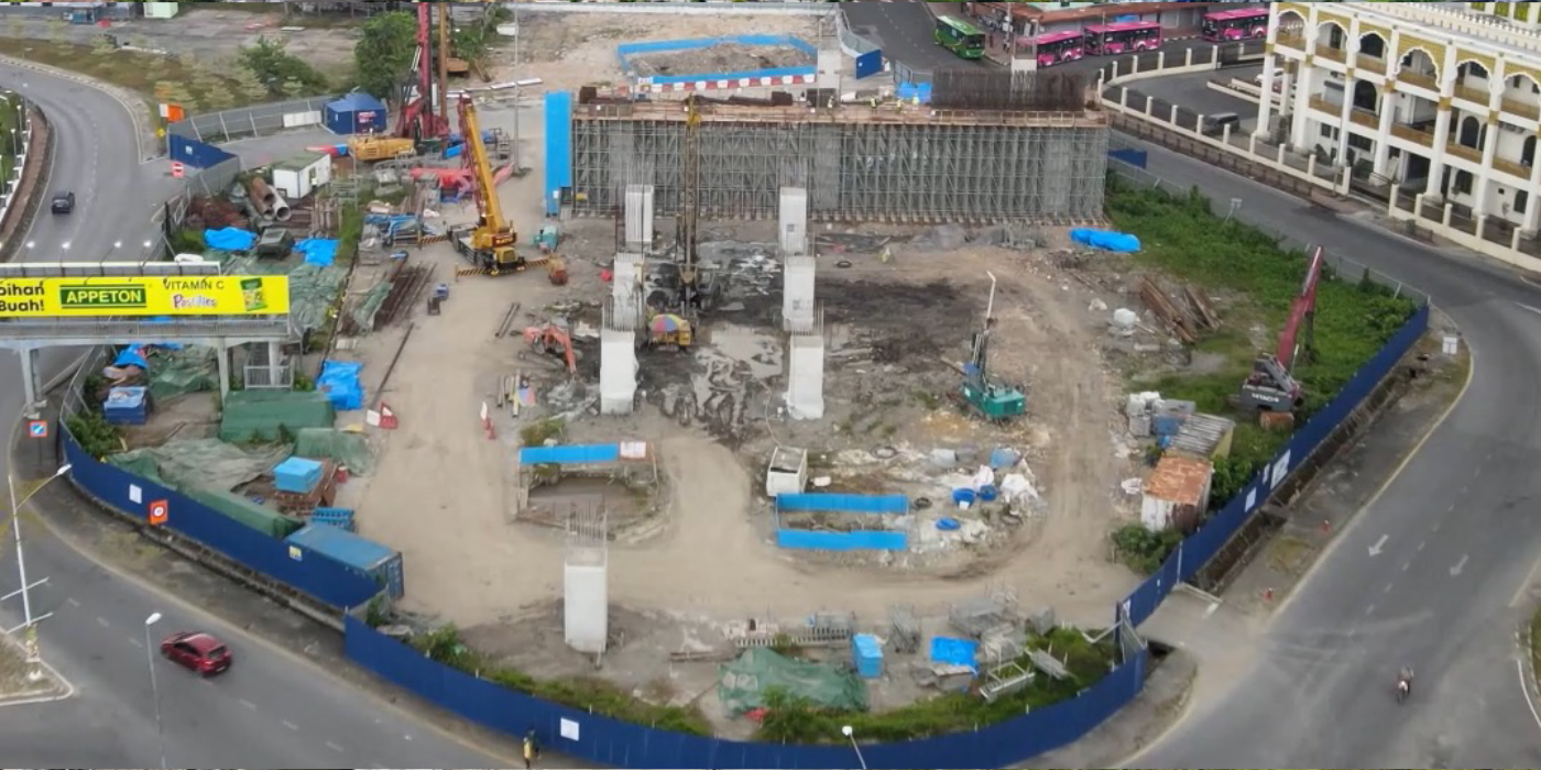
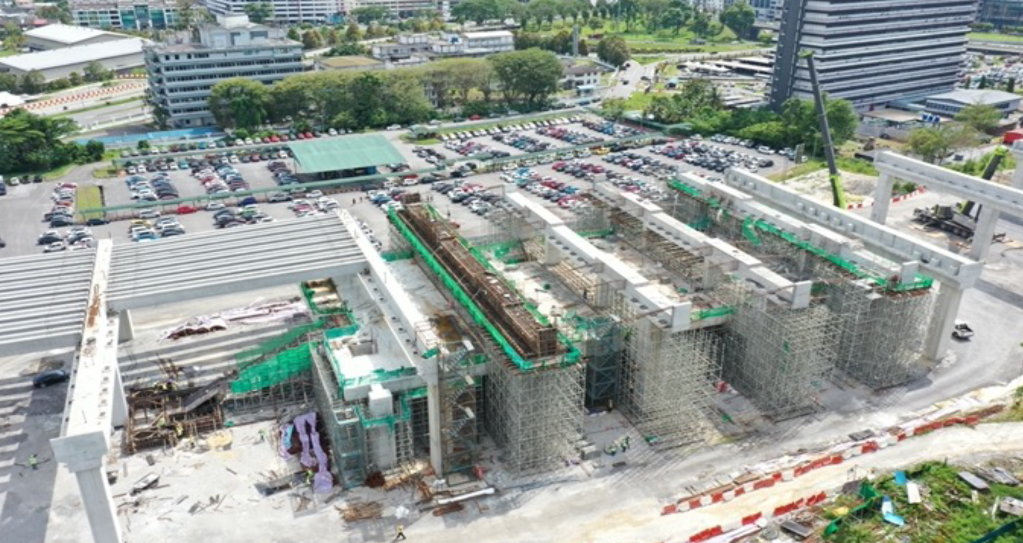
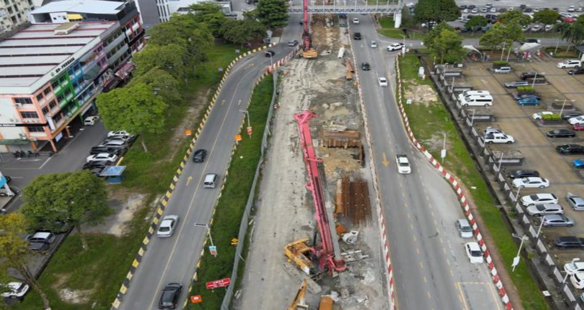
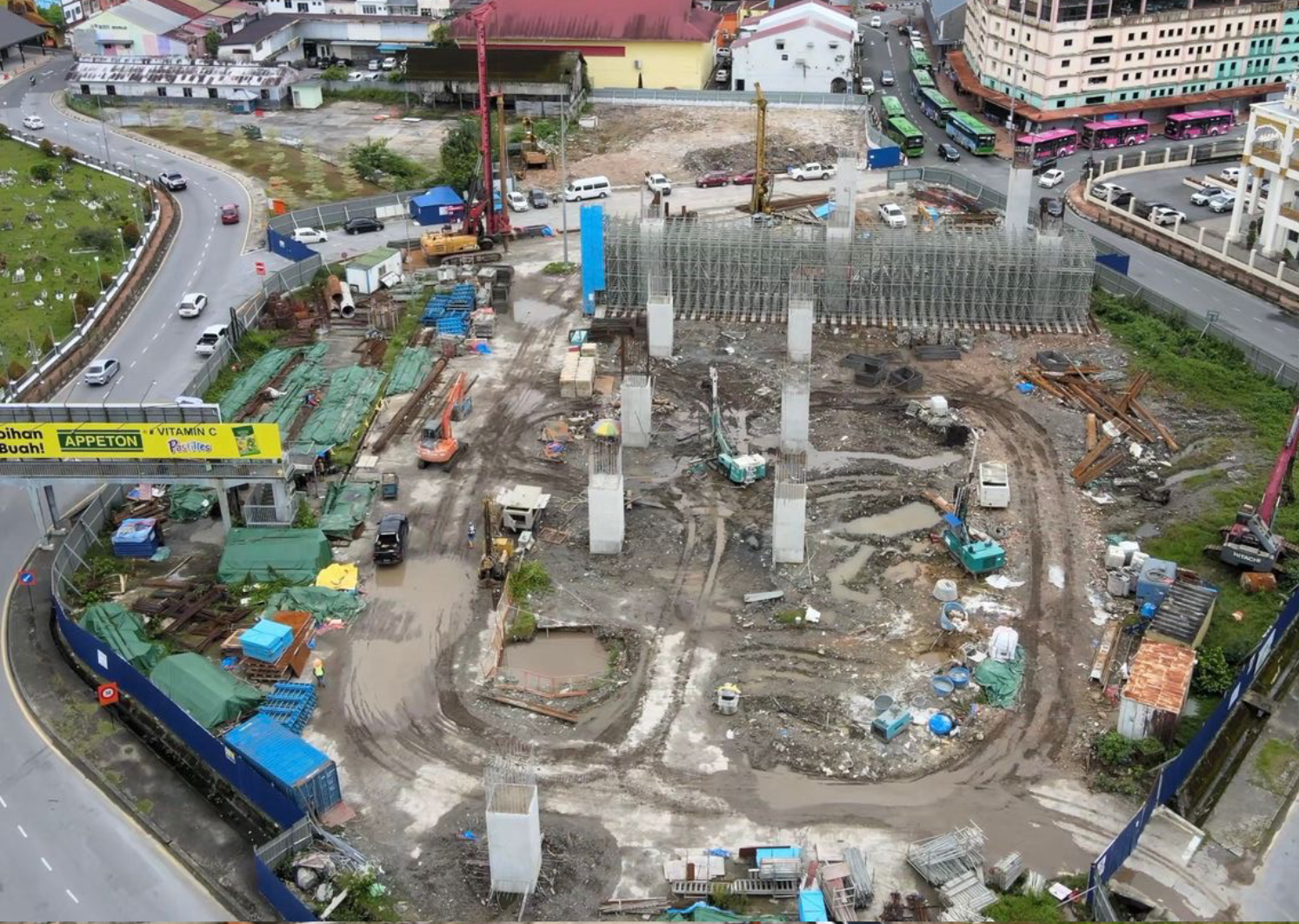
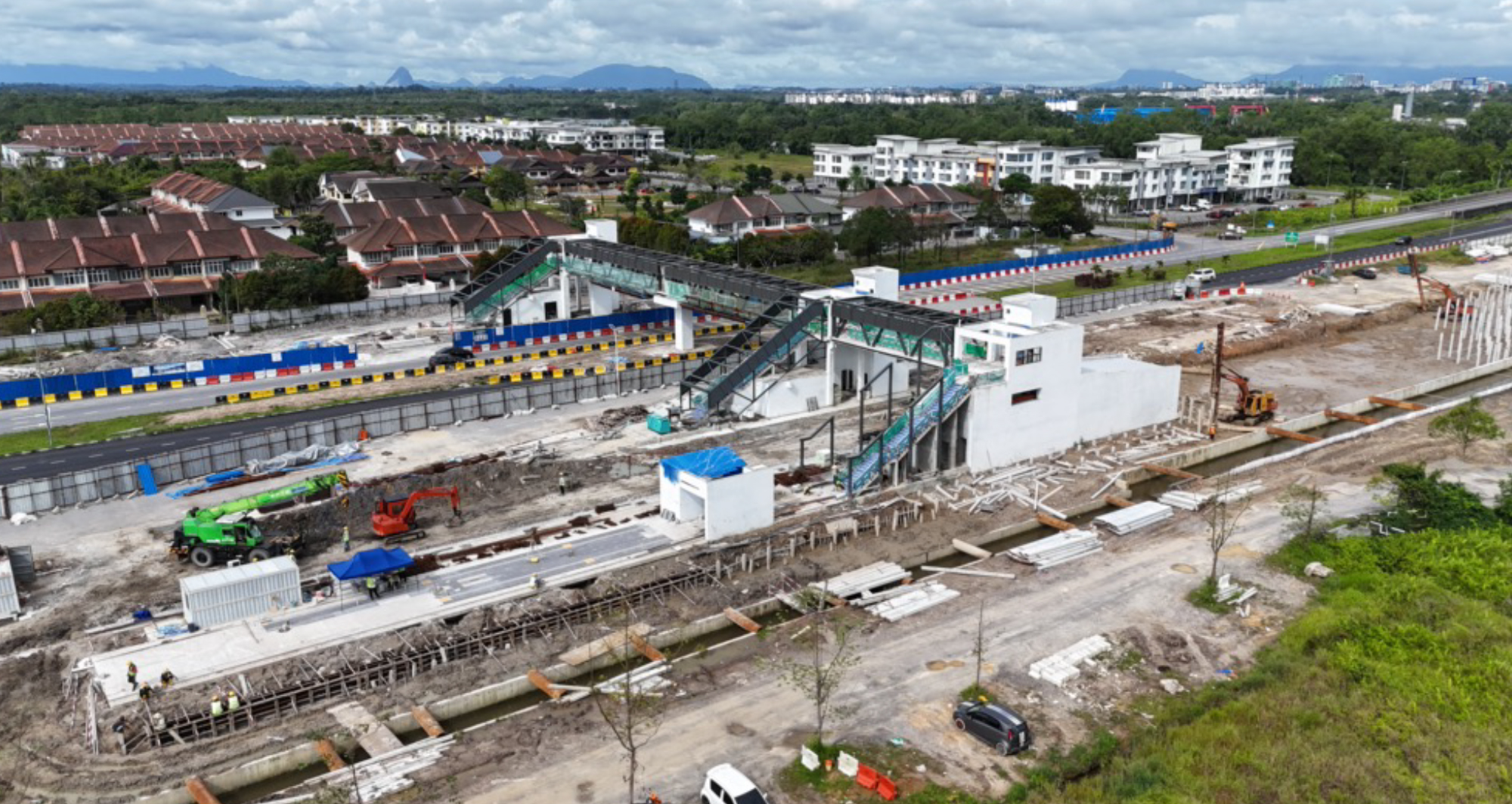
Sarawak Metro is implementing the Kuching Urban Transportation System (KUTS) project to minimise traffic congestion on the city’s roads while spurring productivity and economic growth.
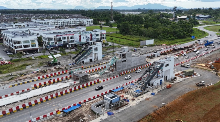
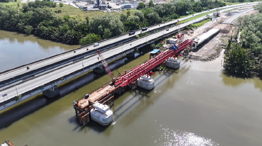
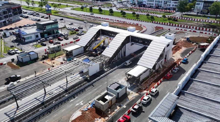
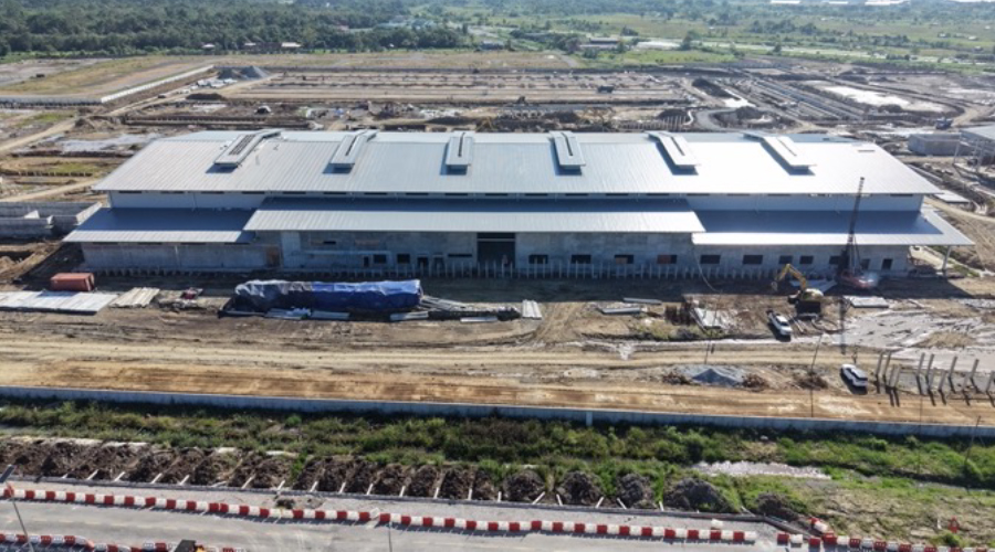
At the heart of KUTS is the Autonomous Rapid Transit(ART) which will be the backbone of the public transport system transformation.


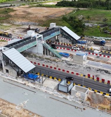
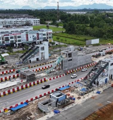
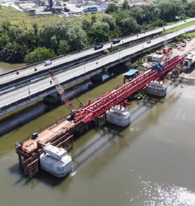
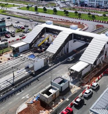
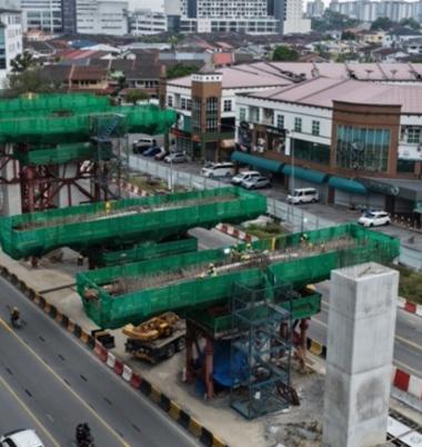
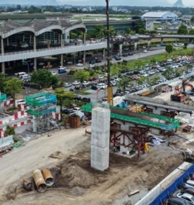
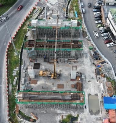
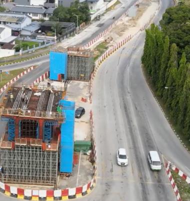
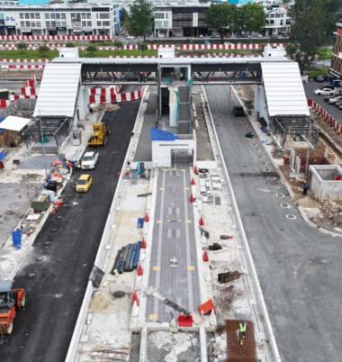
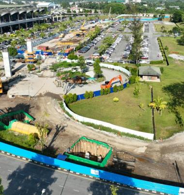
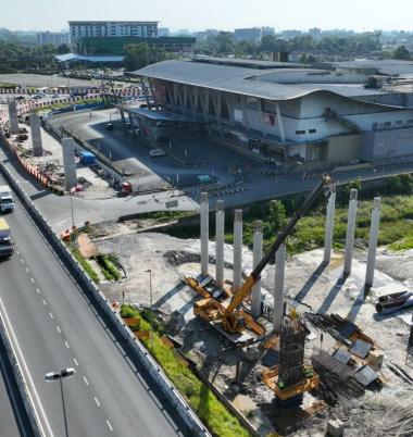
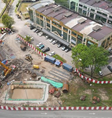
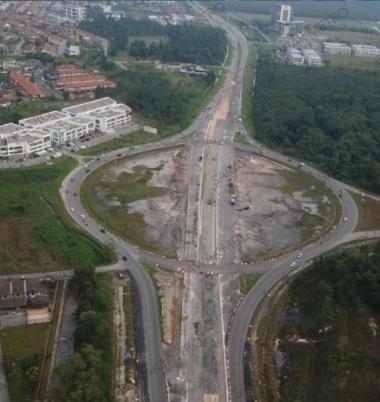
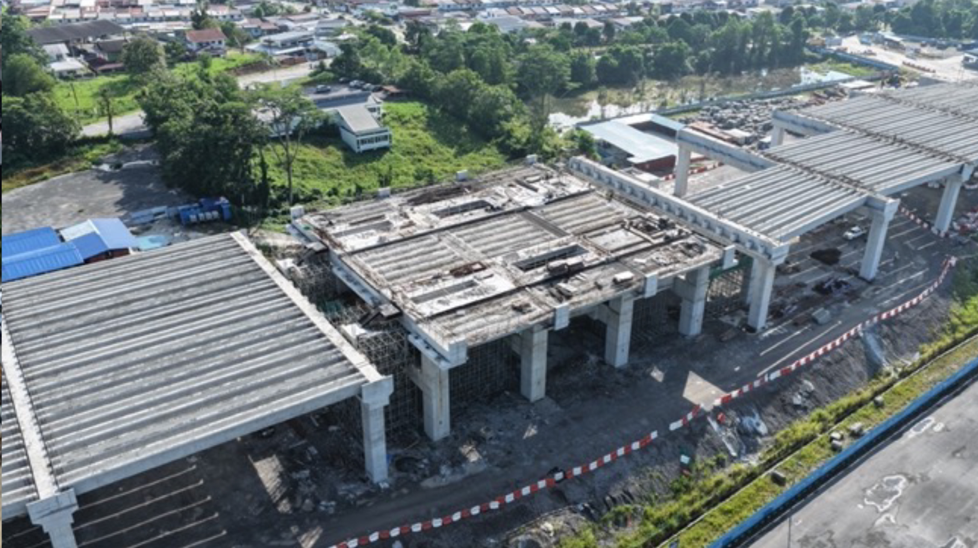
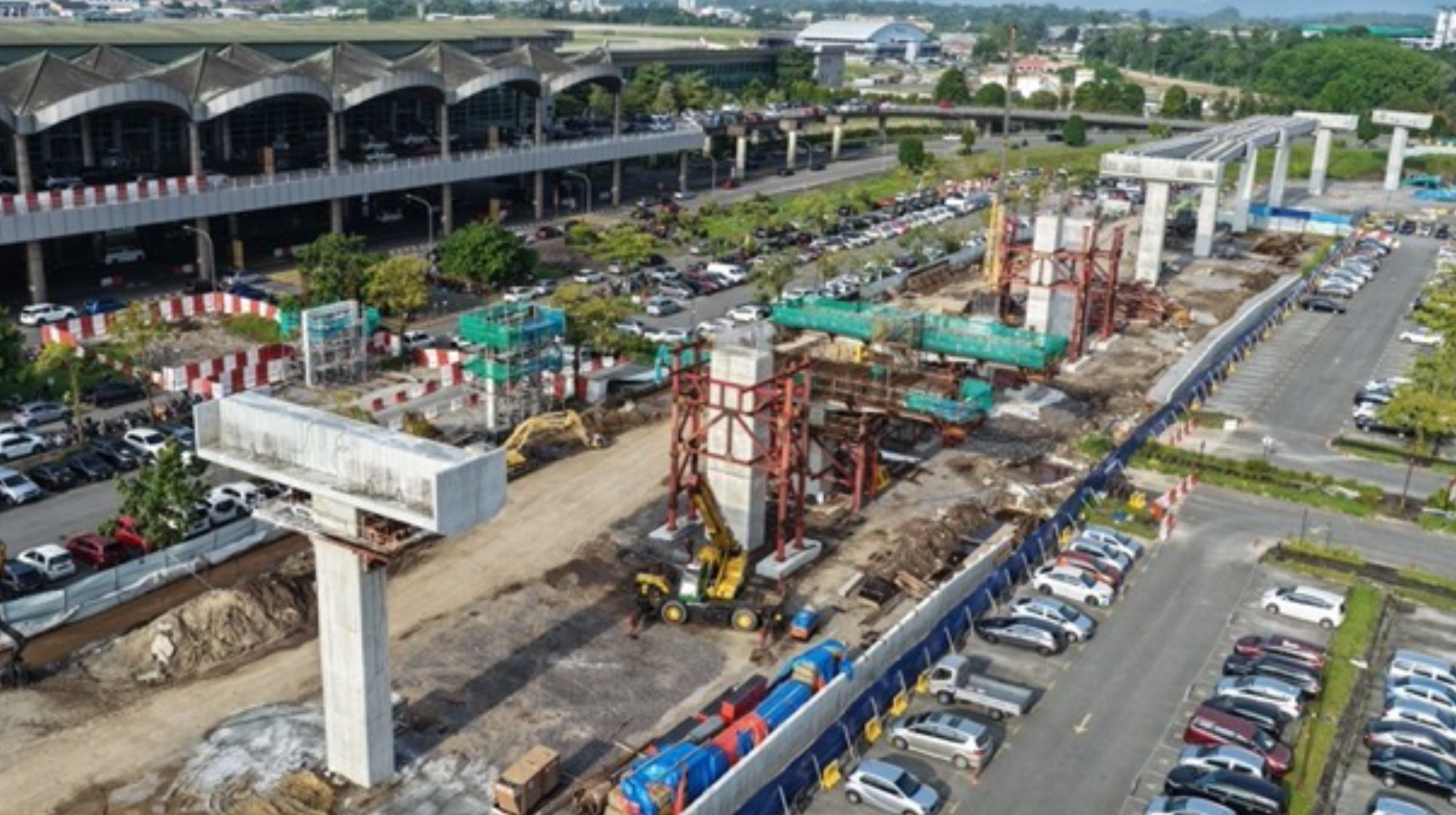
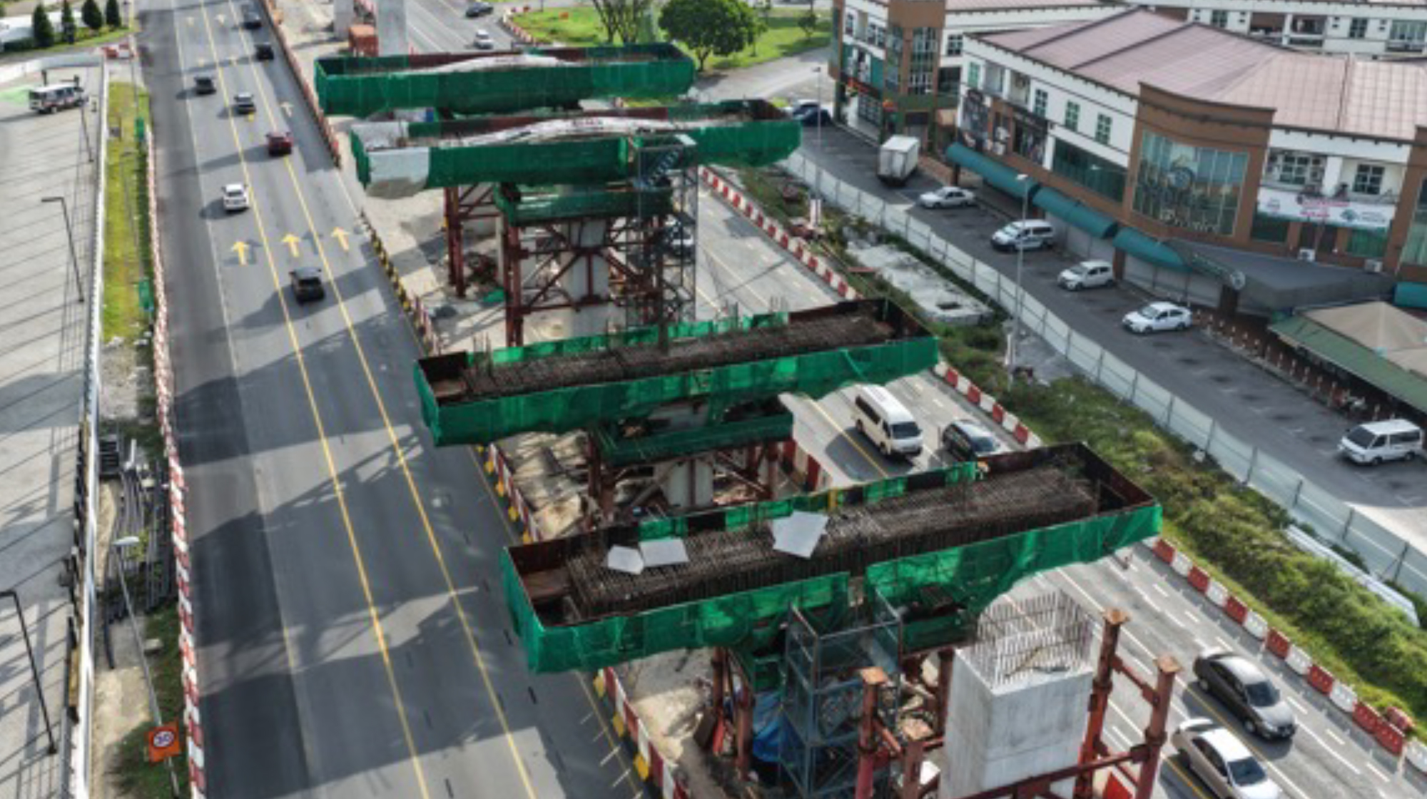
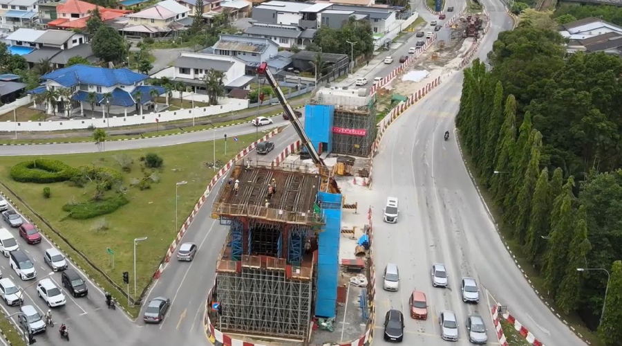
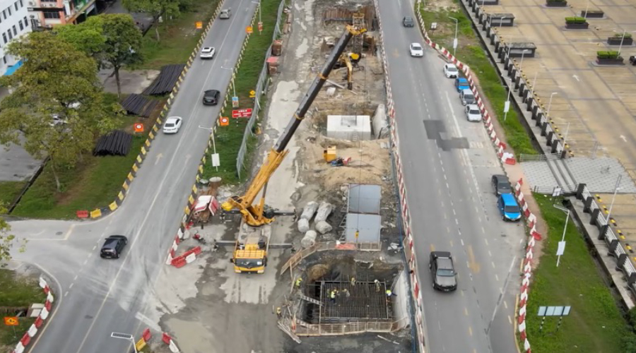
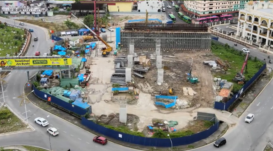
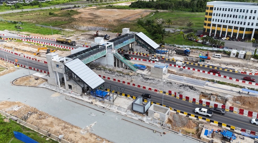
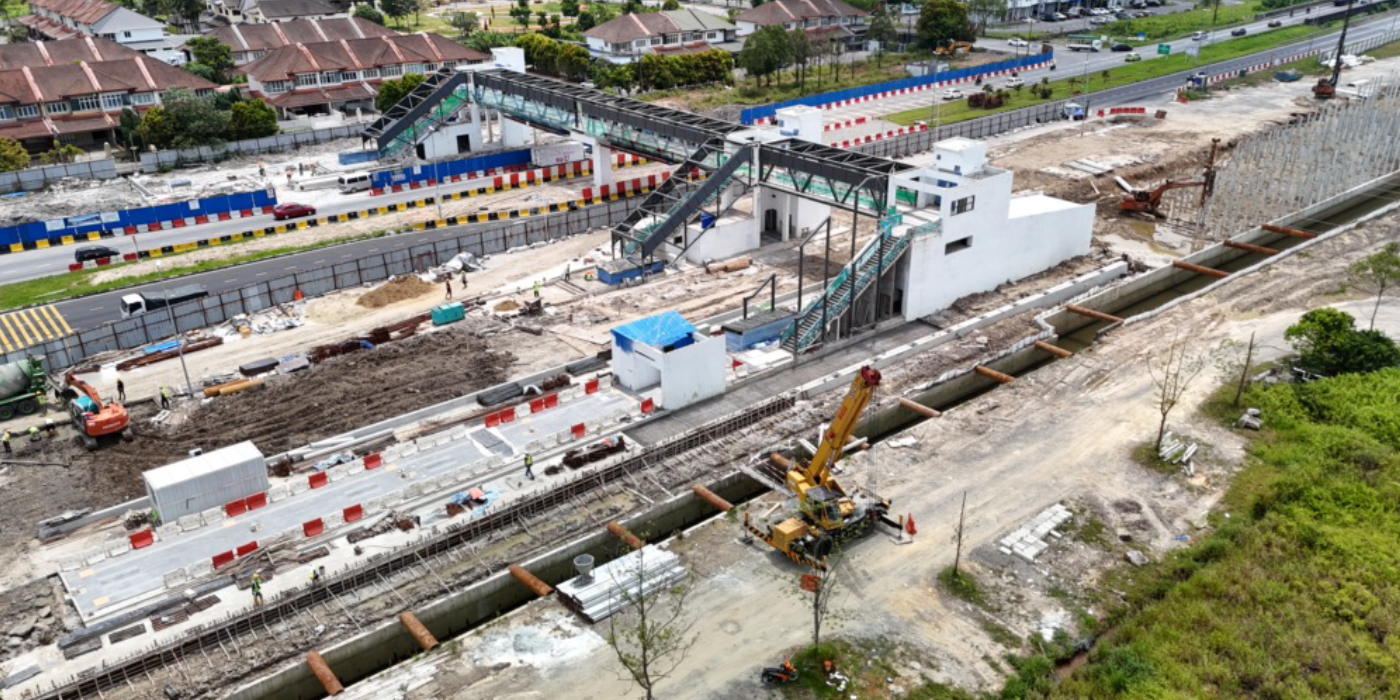
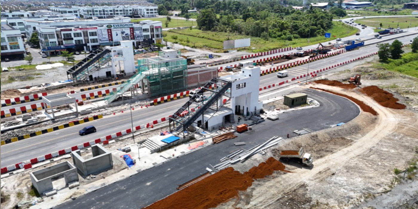
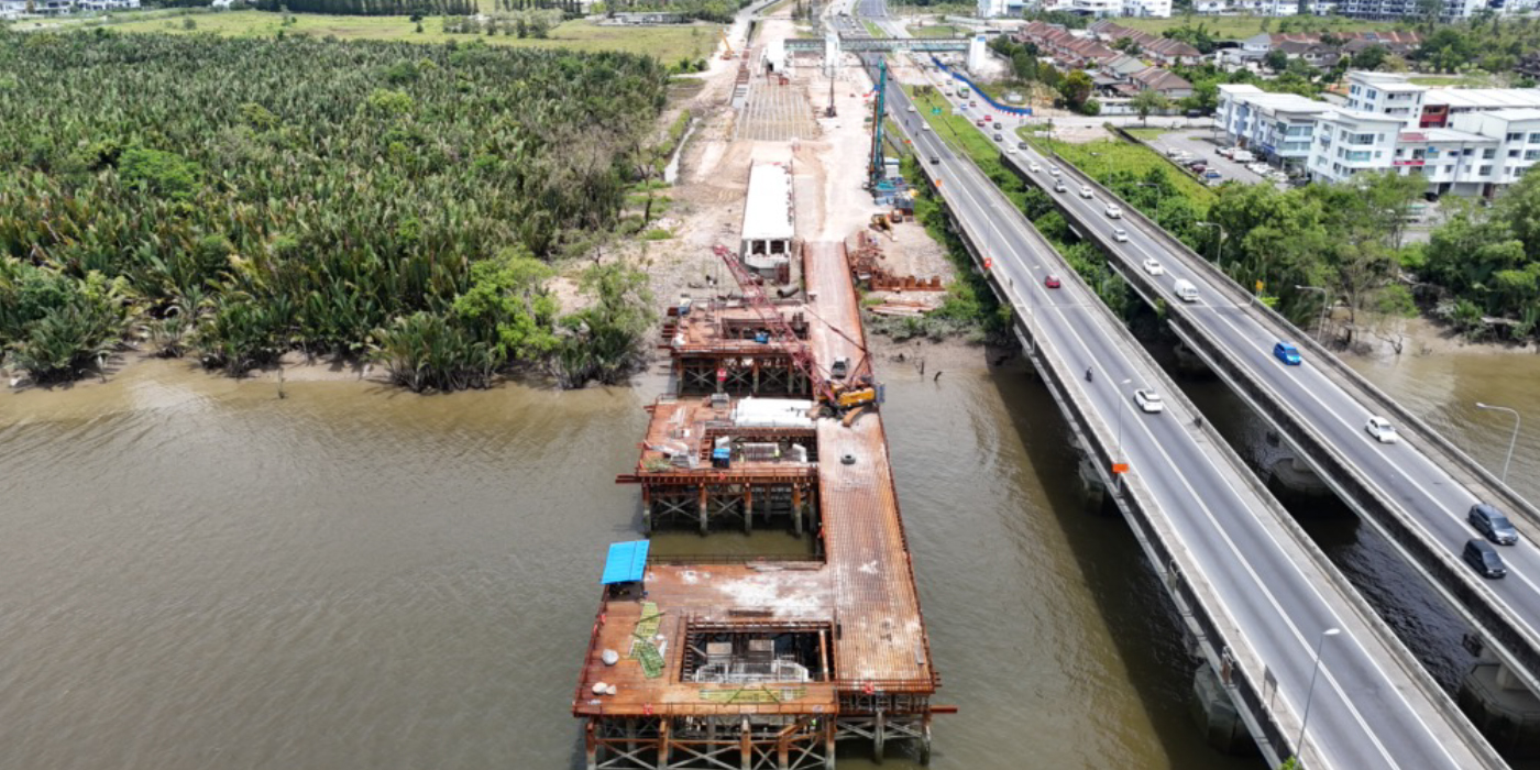
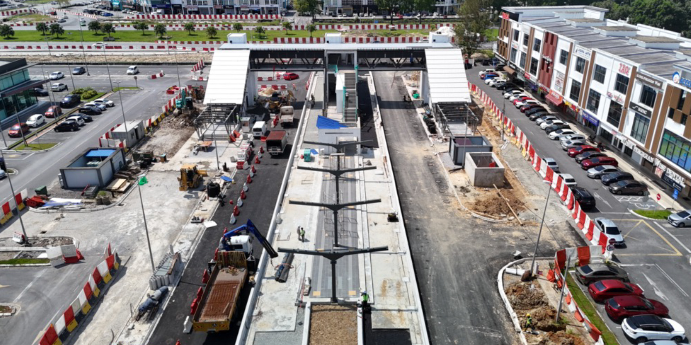
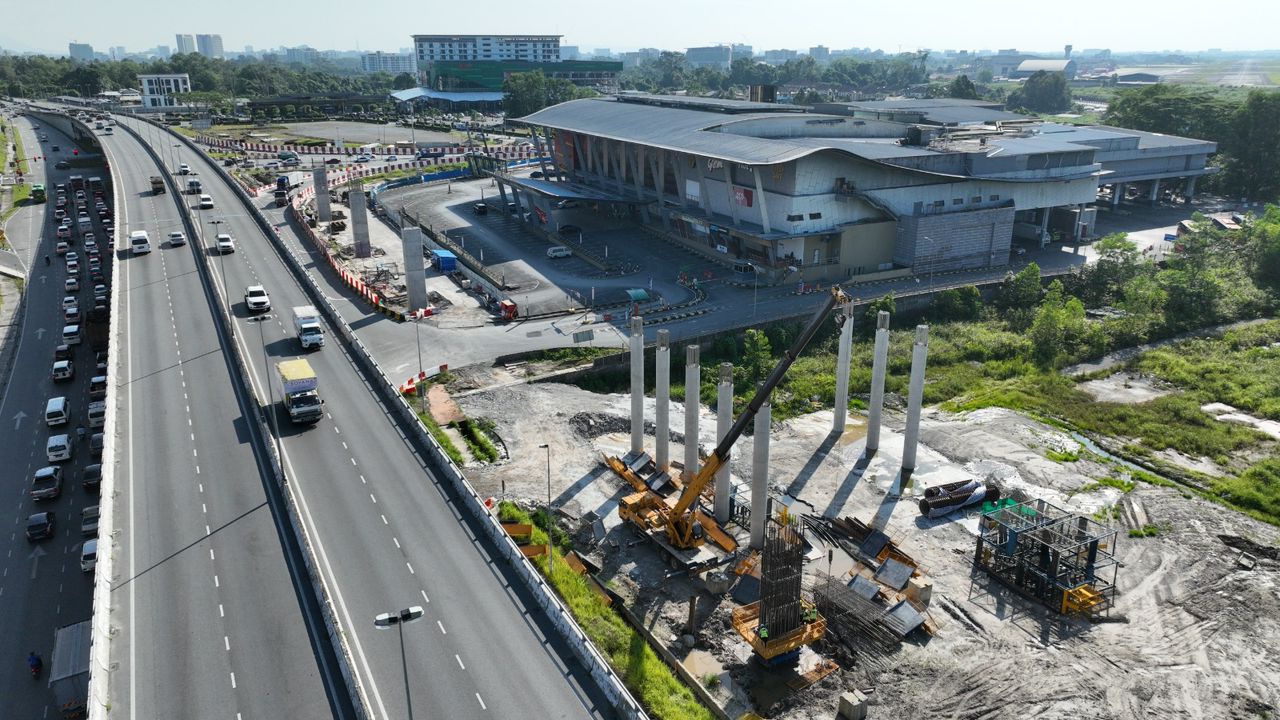
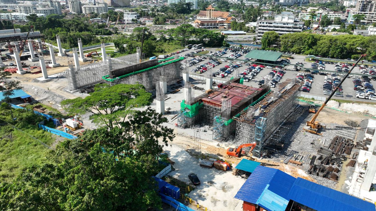
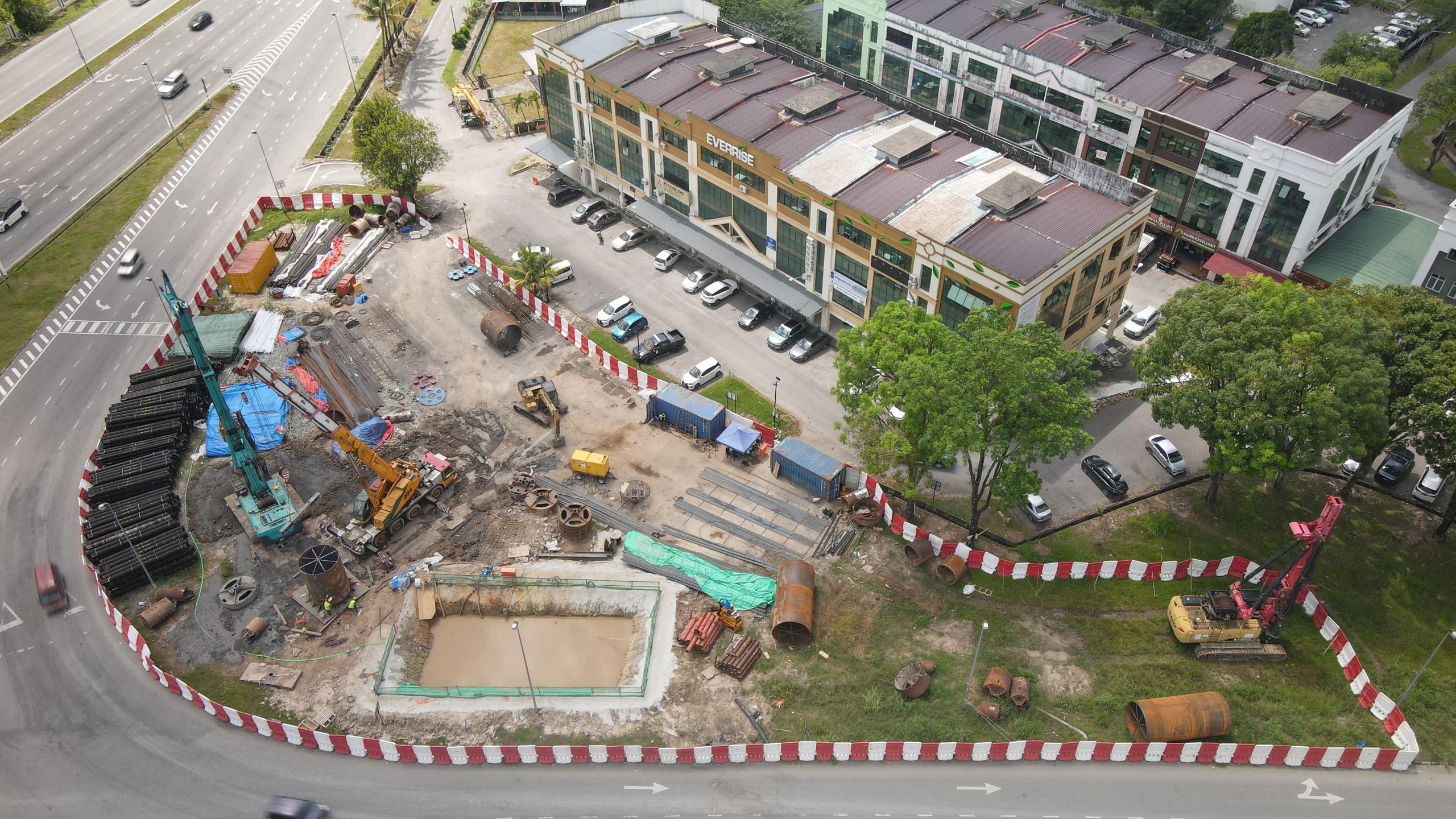
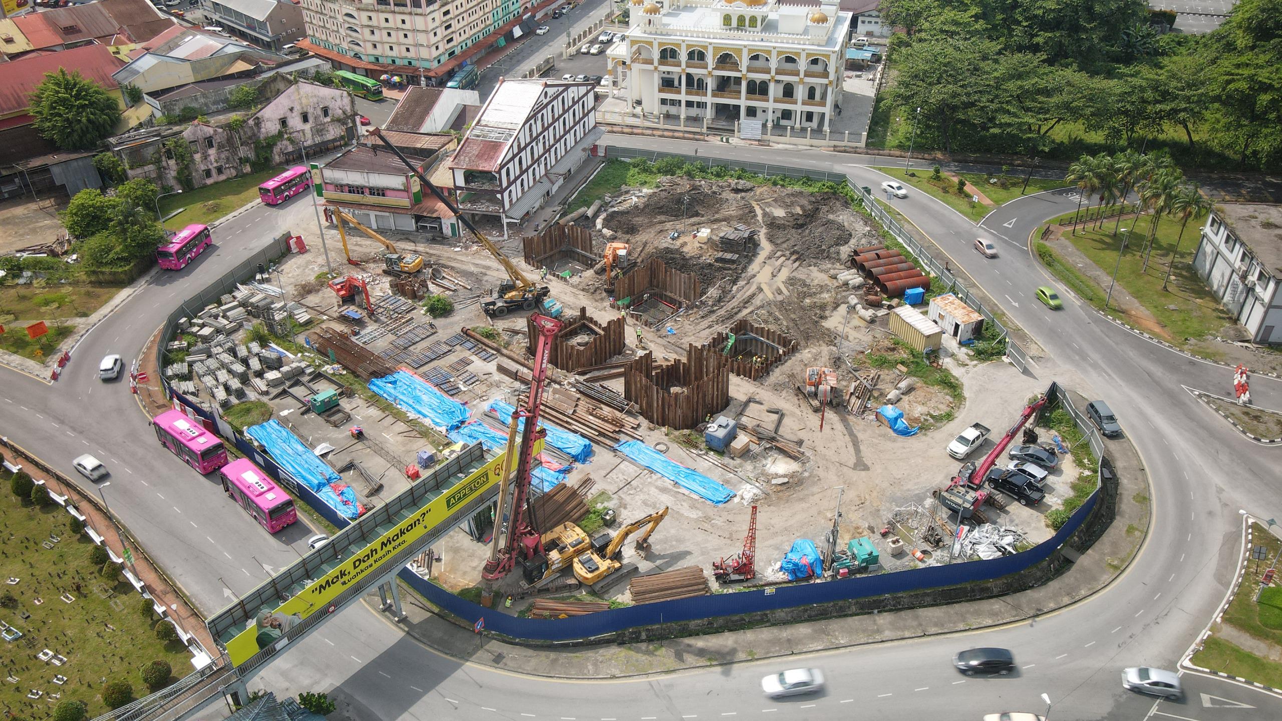
Phase 1 of the KUTS project involves ART's approximately 69.9-kilometre route that consists of 3 lines and 28 stations.
*This transit map is subject to final alignment design changes

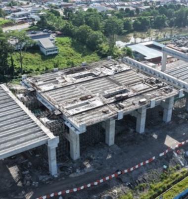
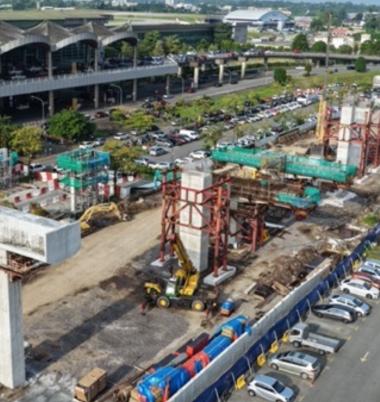
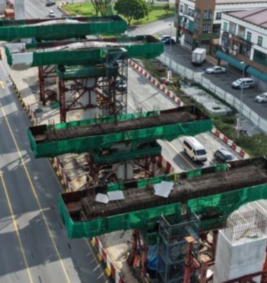
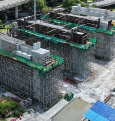
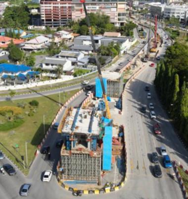
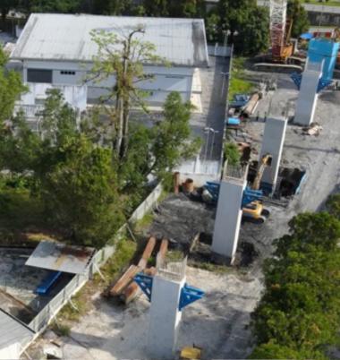
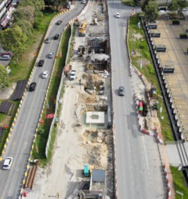
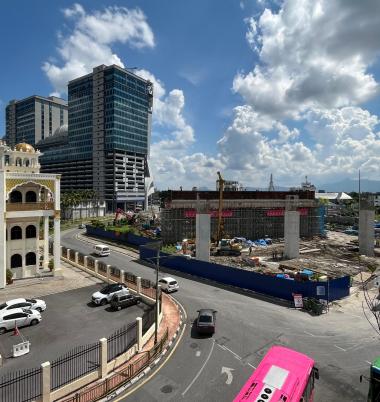
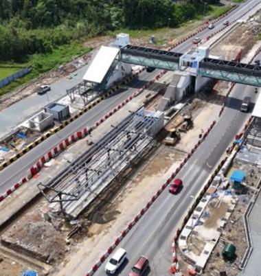
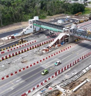
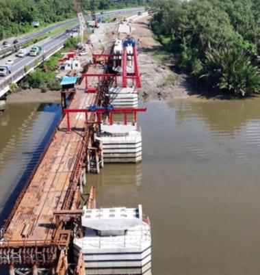
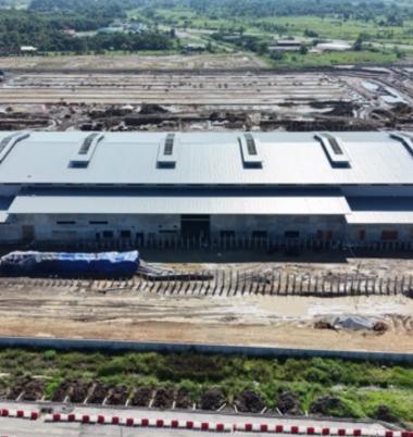
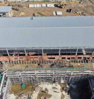
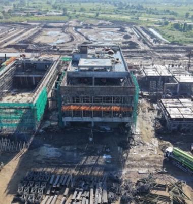
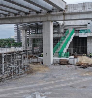
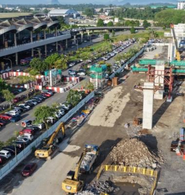
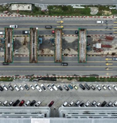
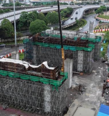
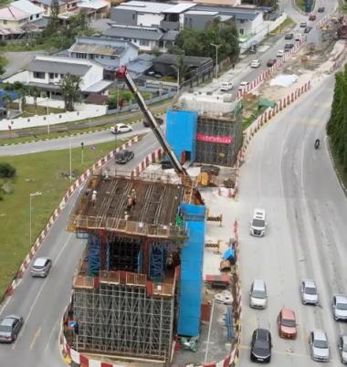
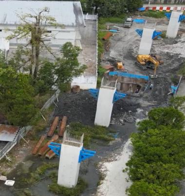
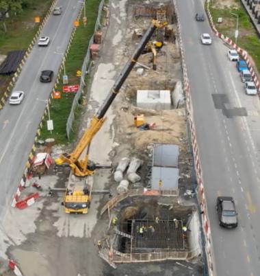
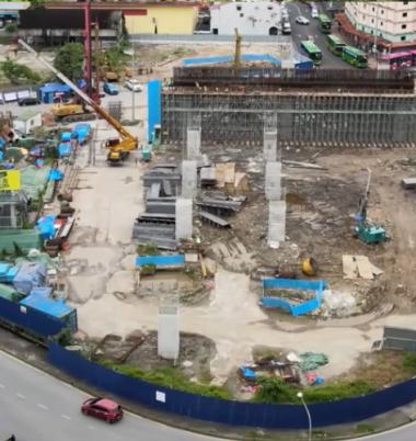
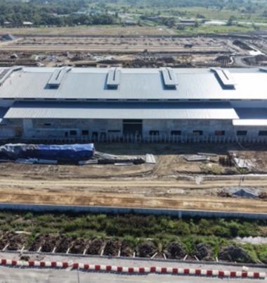
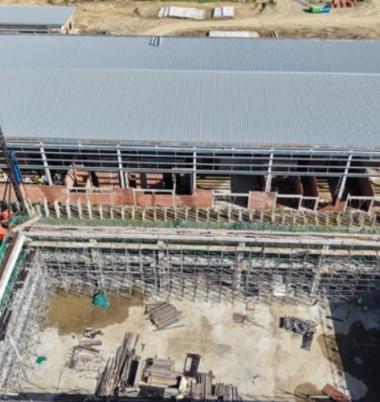
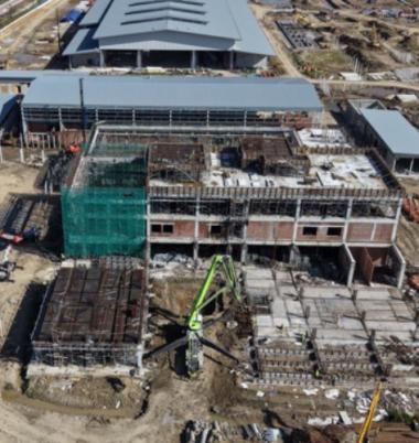
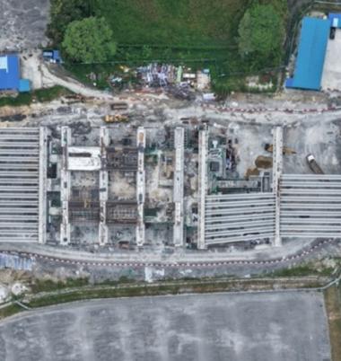
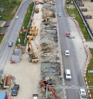
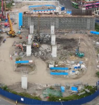
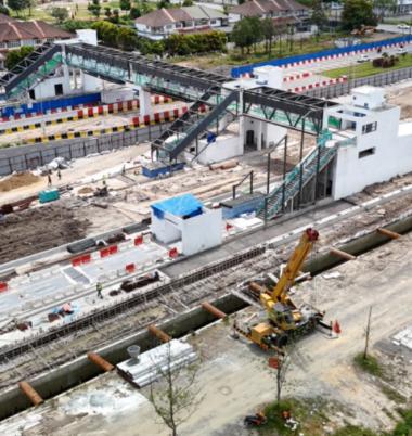
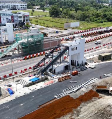
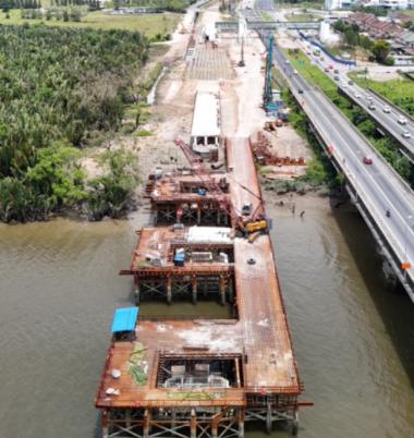
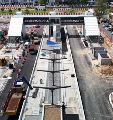
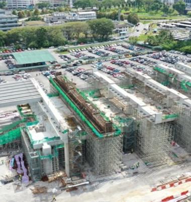
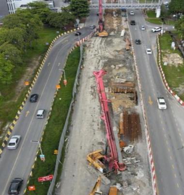
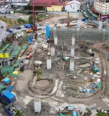
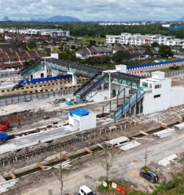
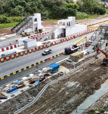
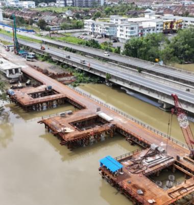
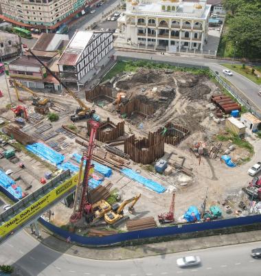
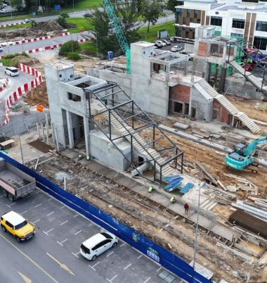
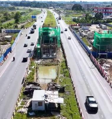
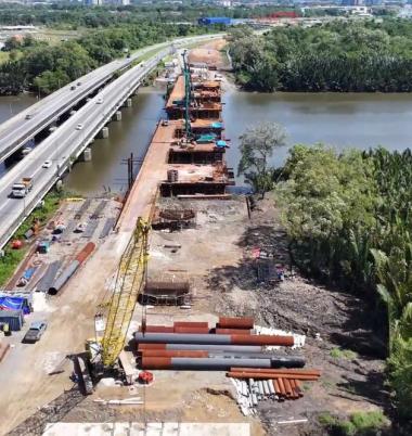
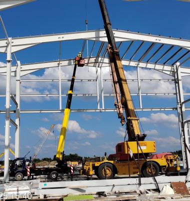
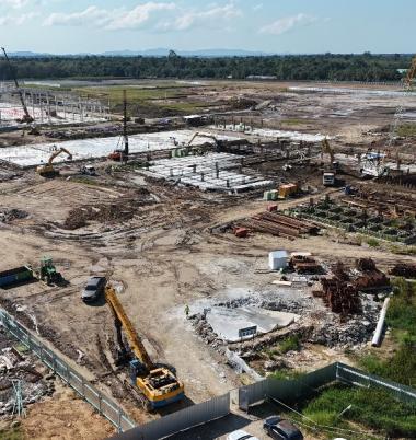
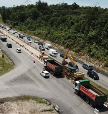
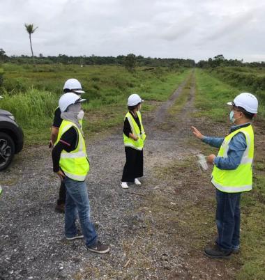
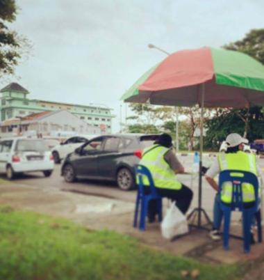
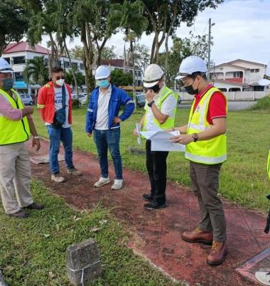
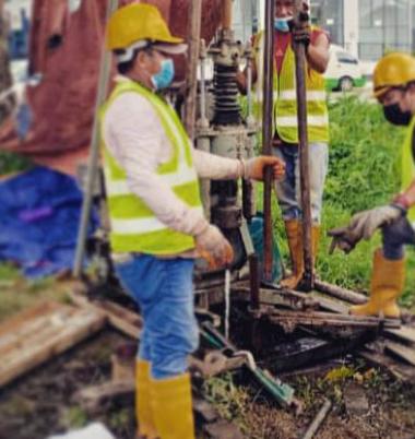
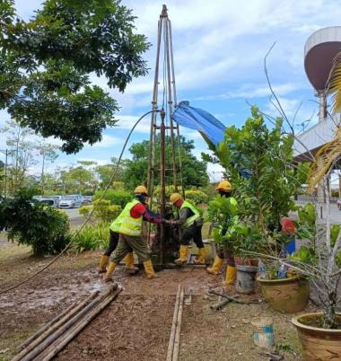
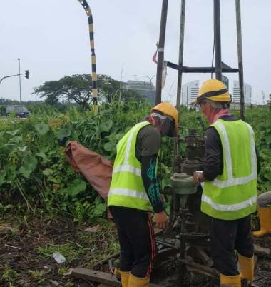
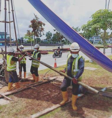
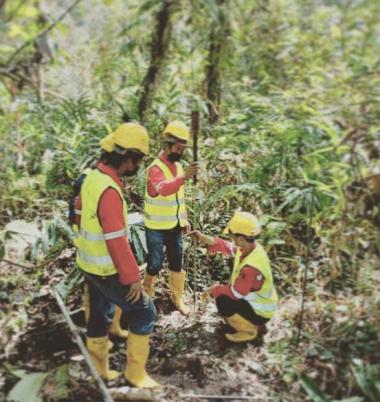
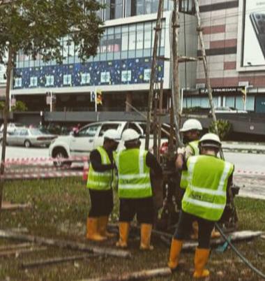
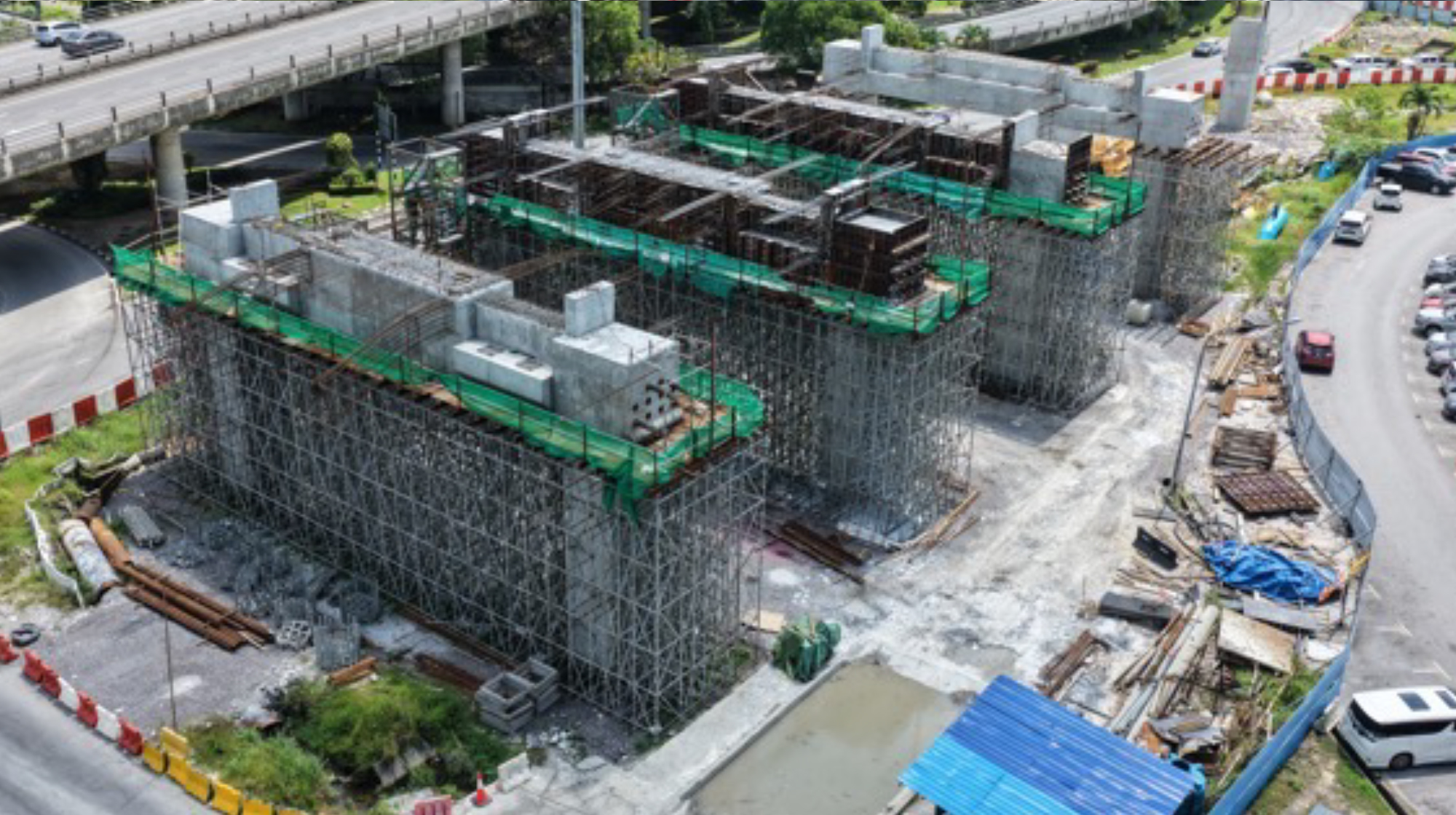
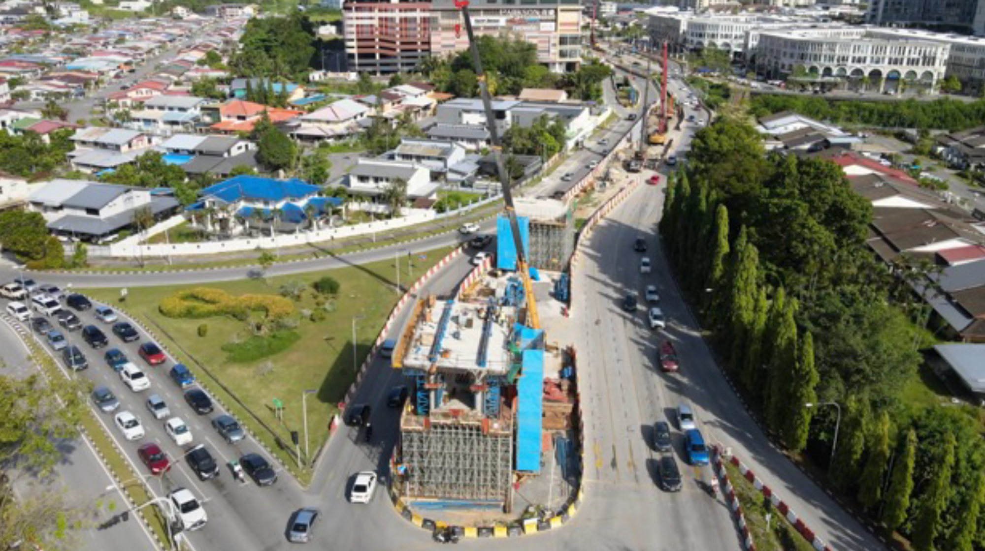
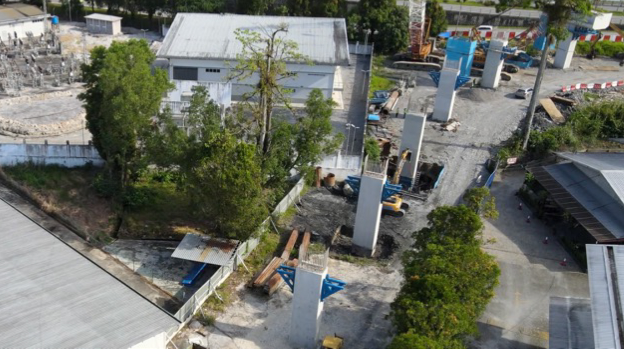
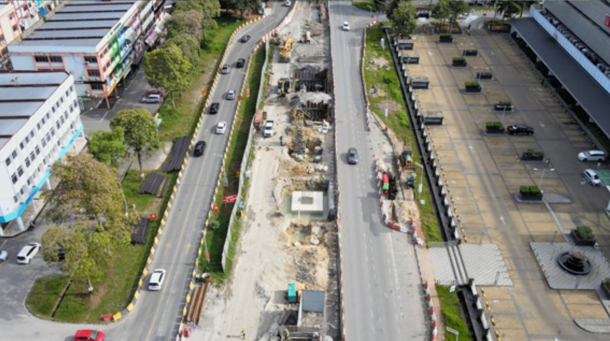
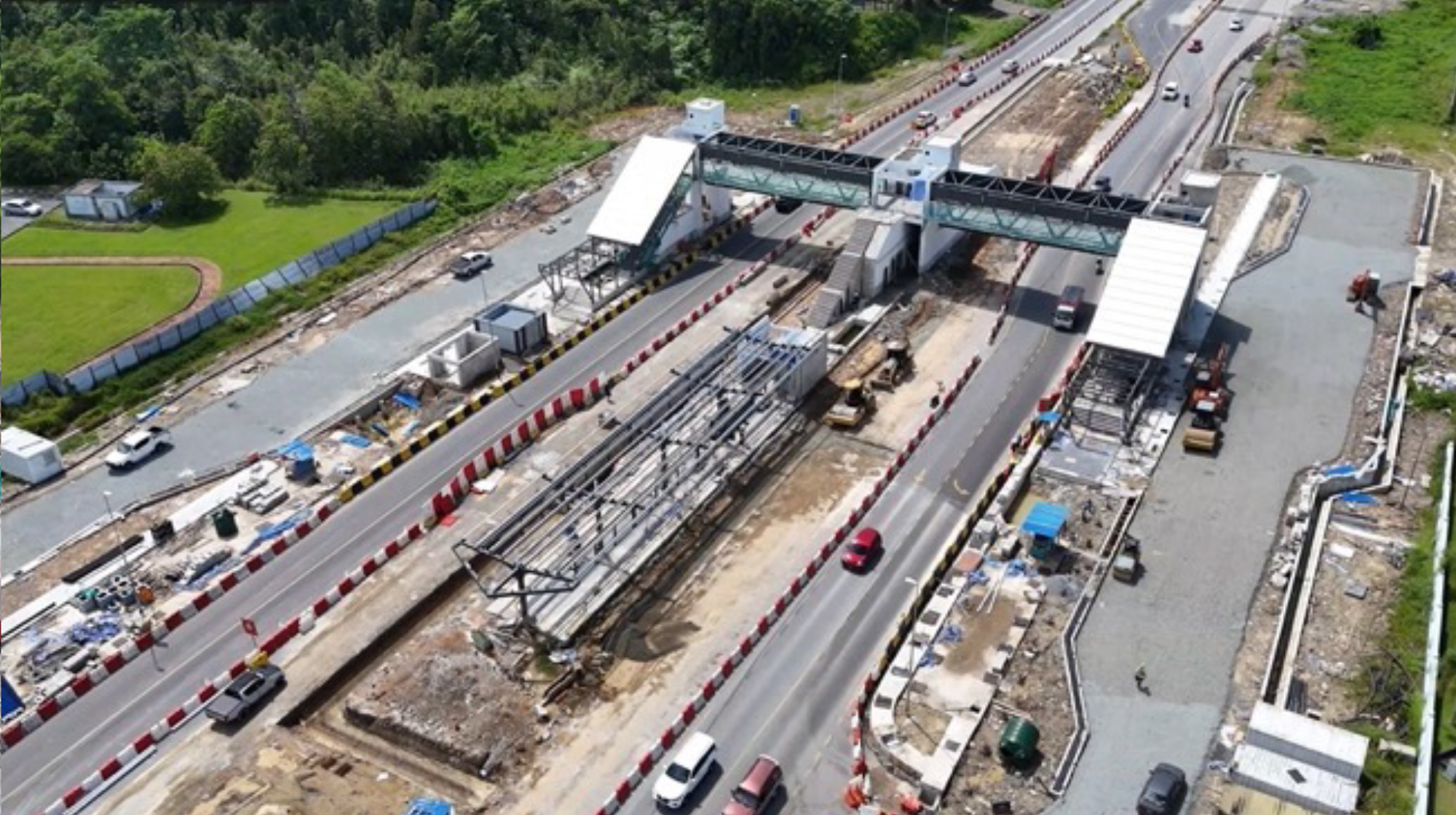
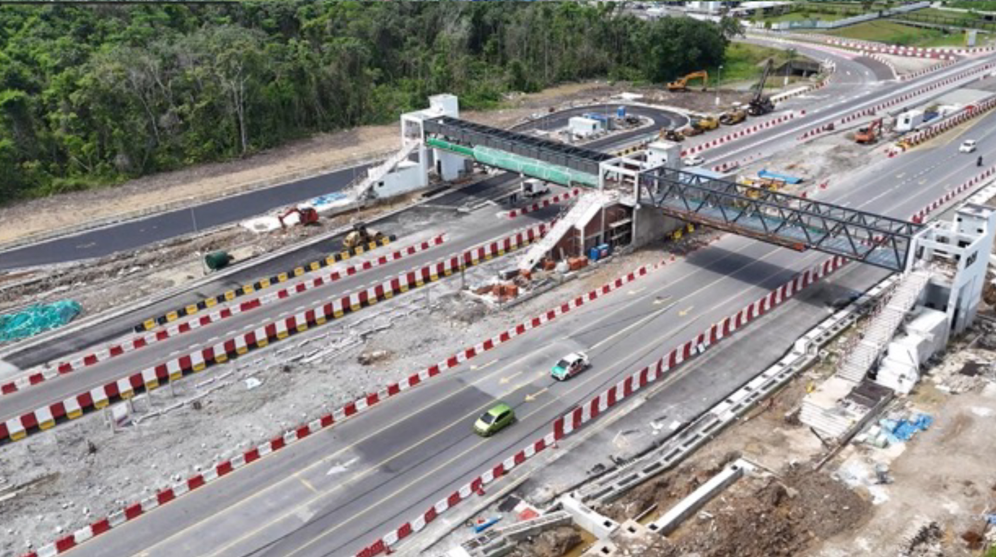
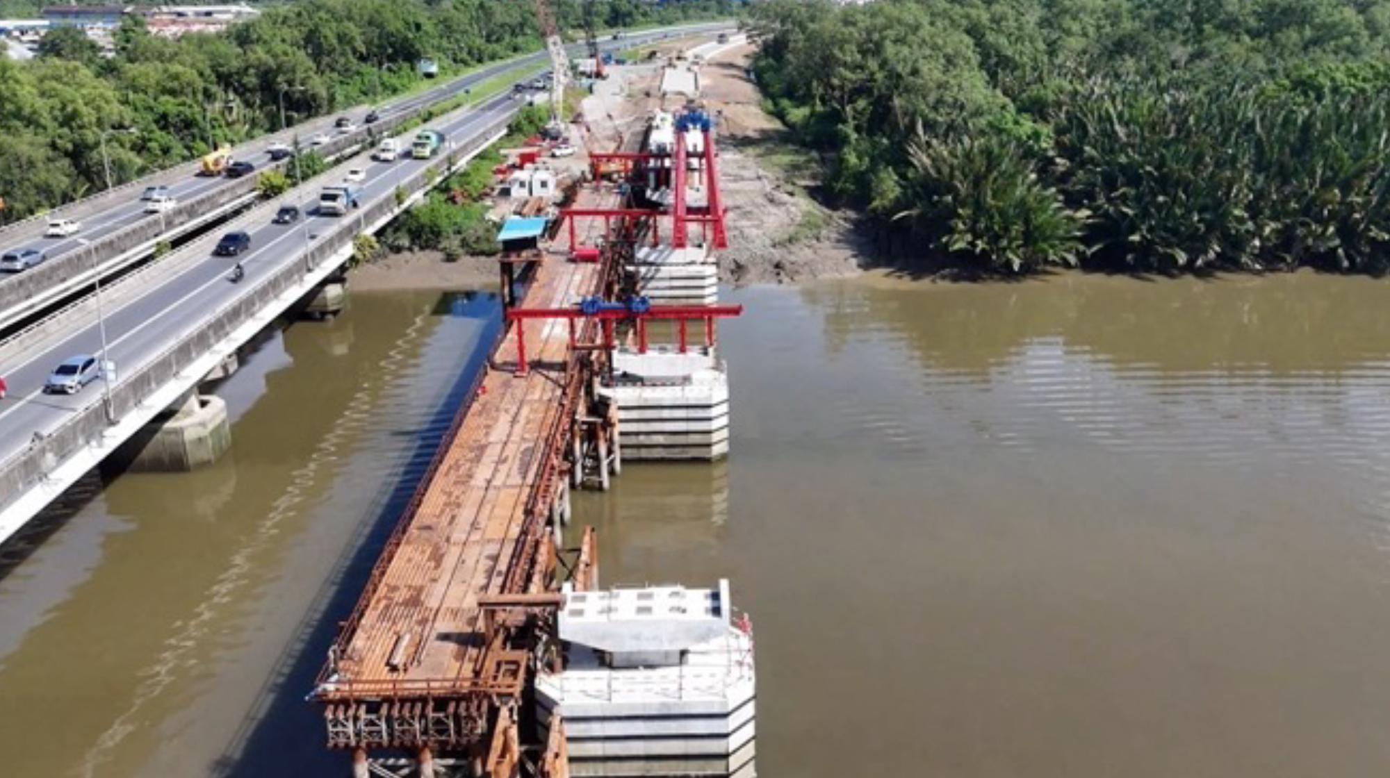
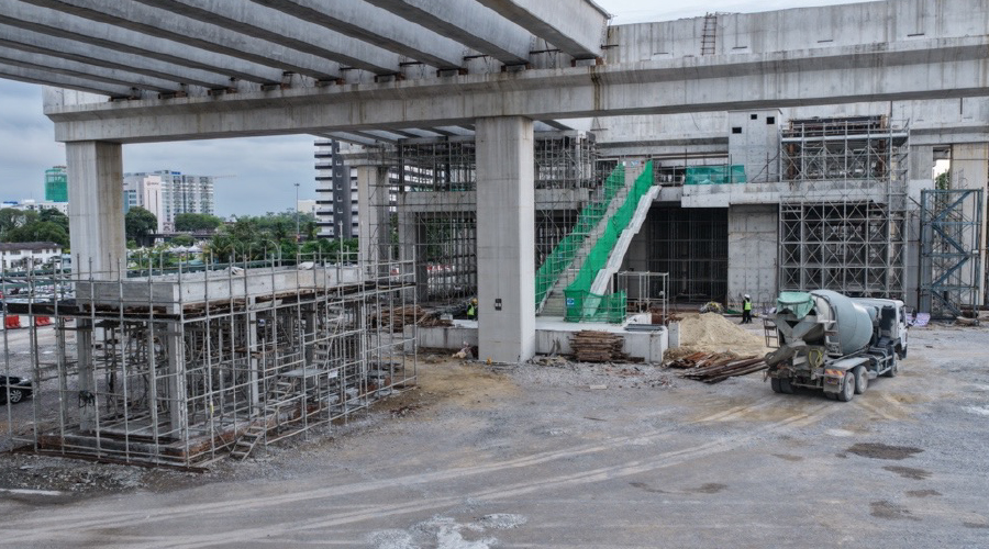
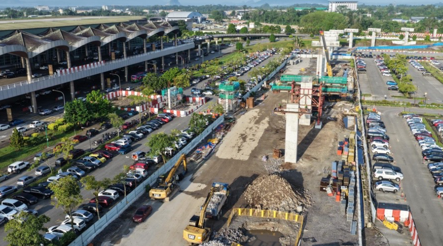
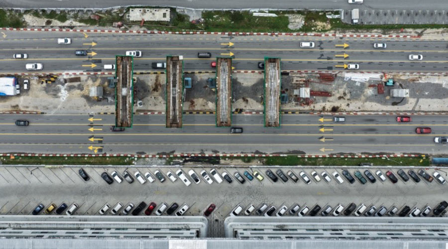
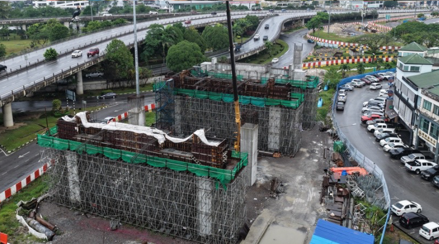
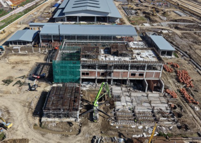
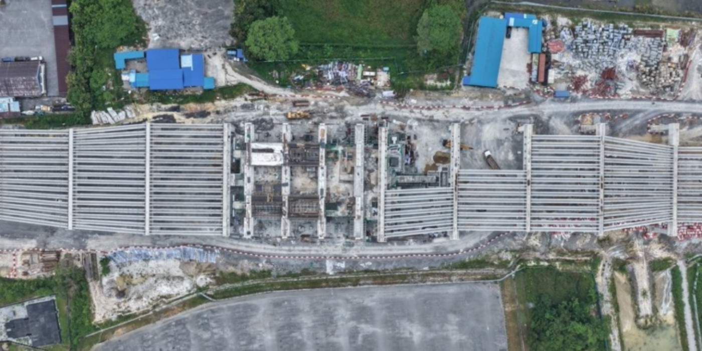
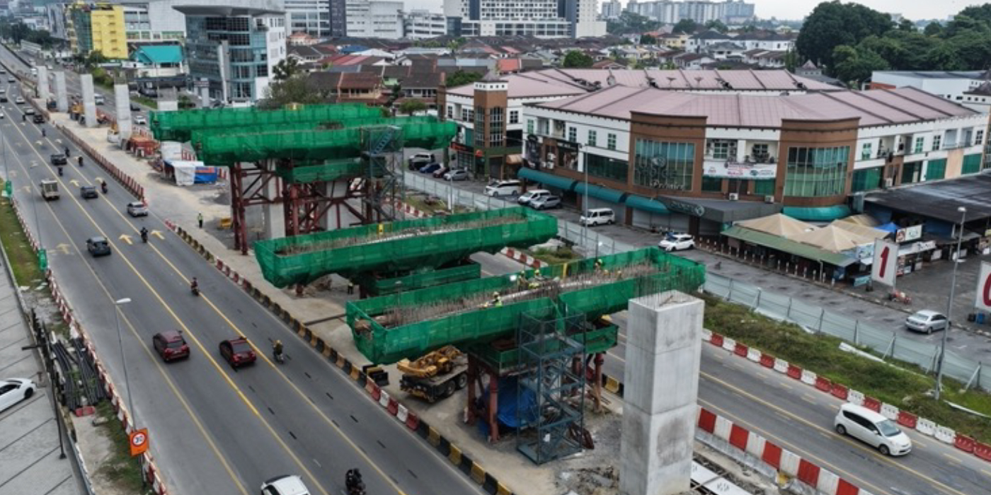
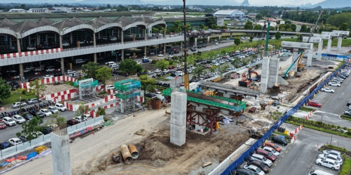
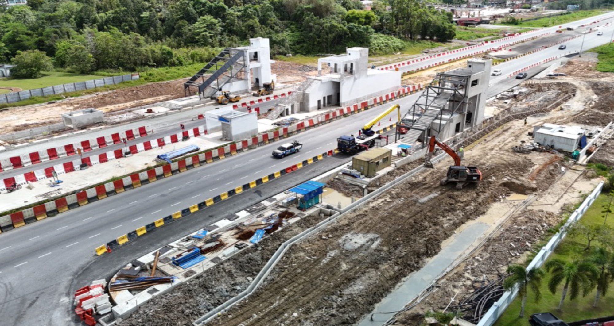
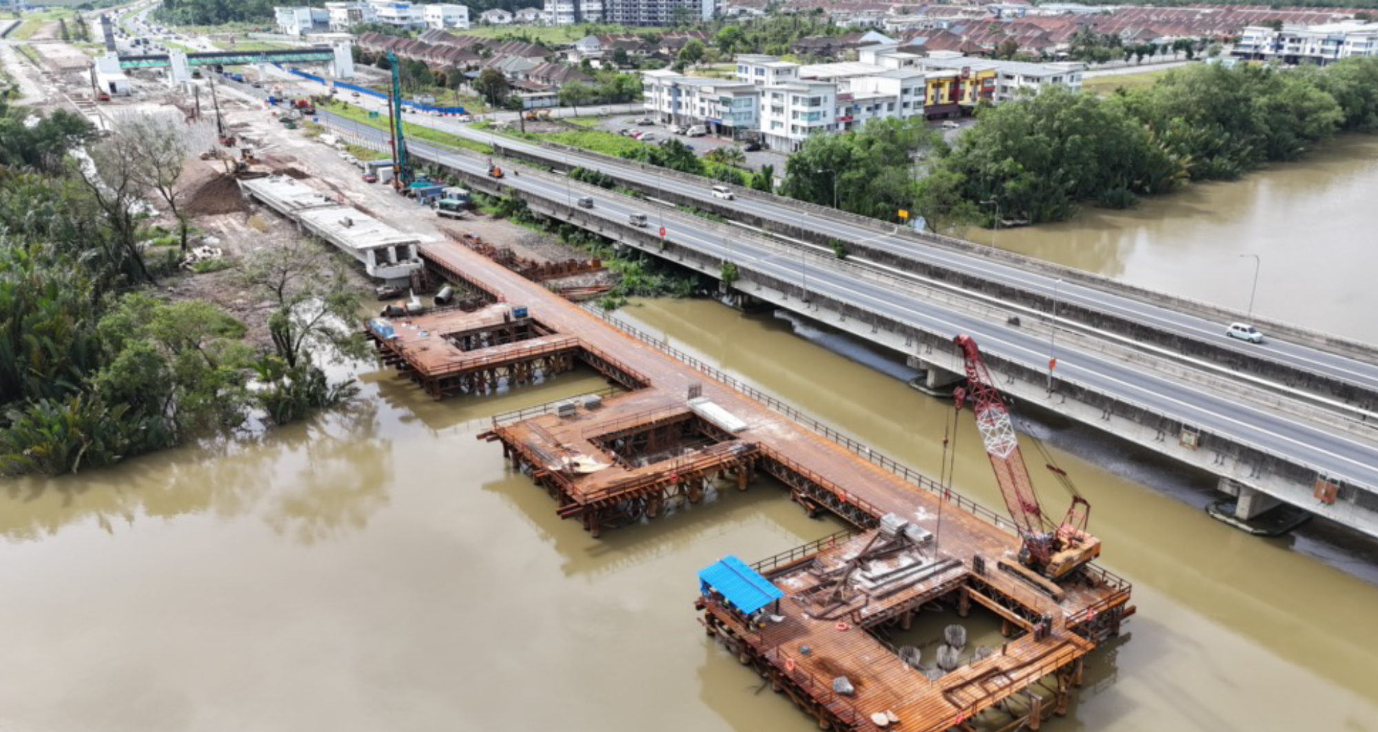
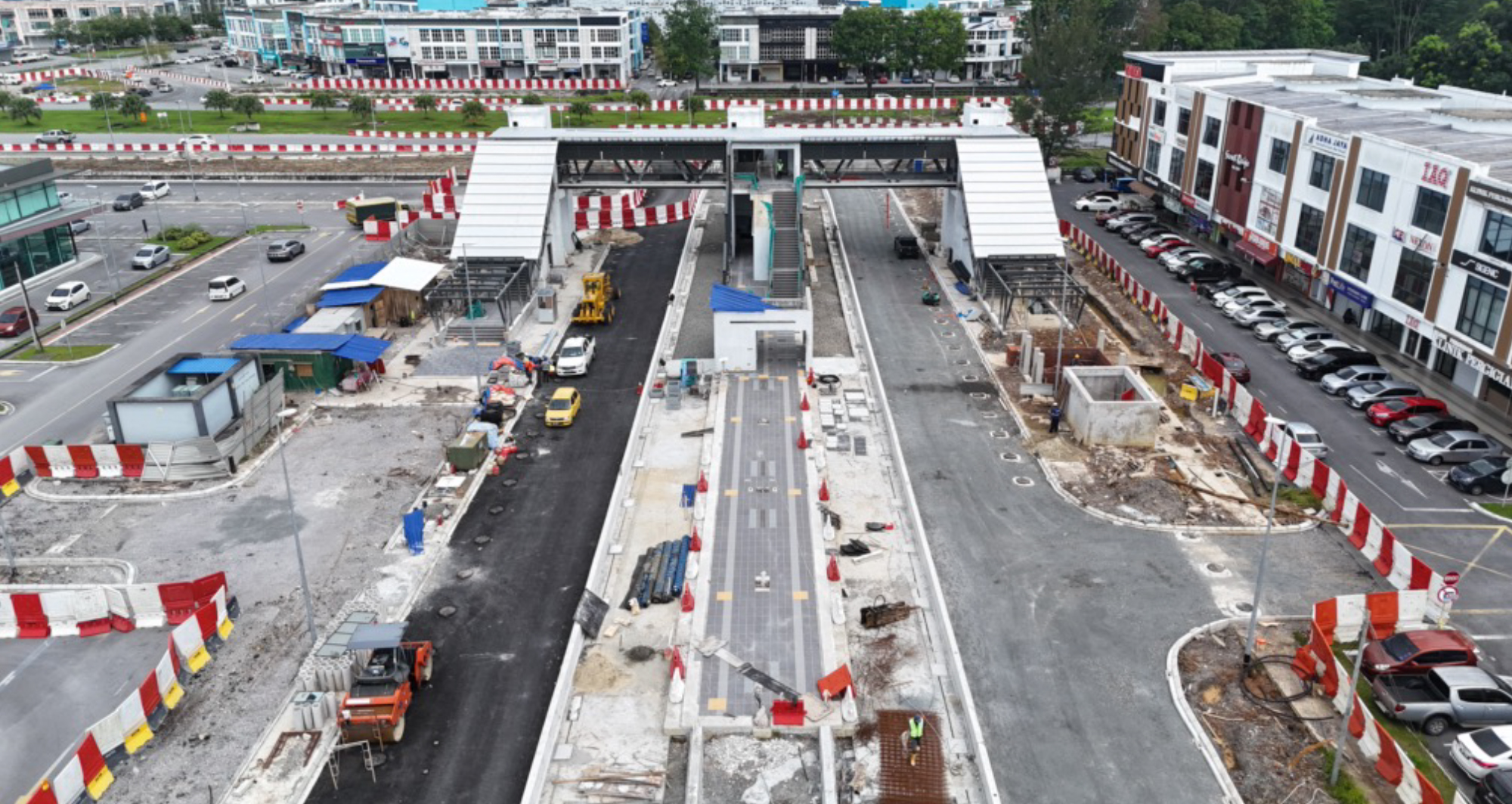
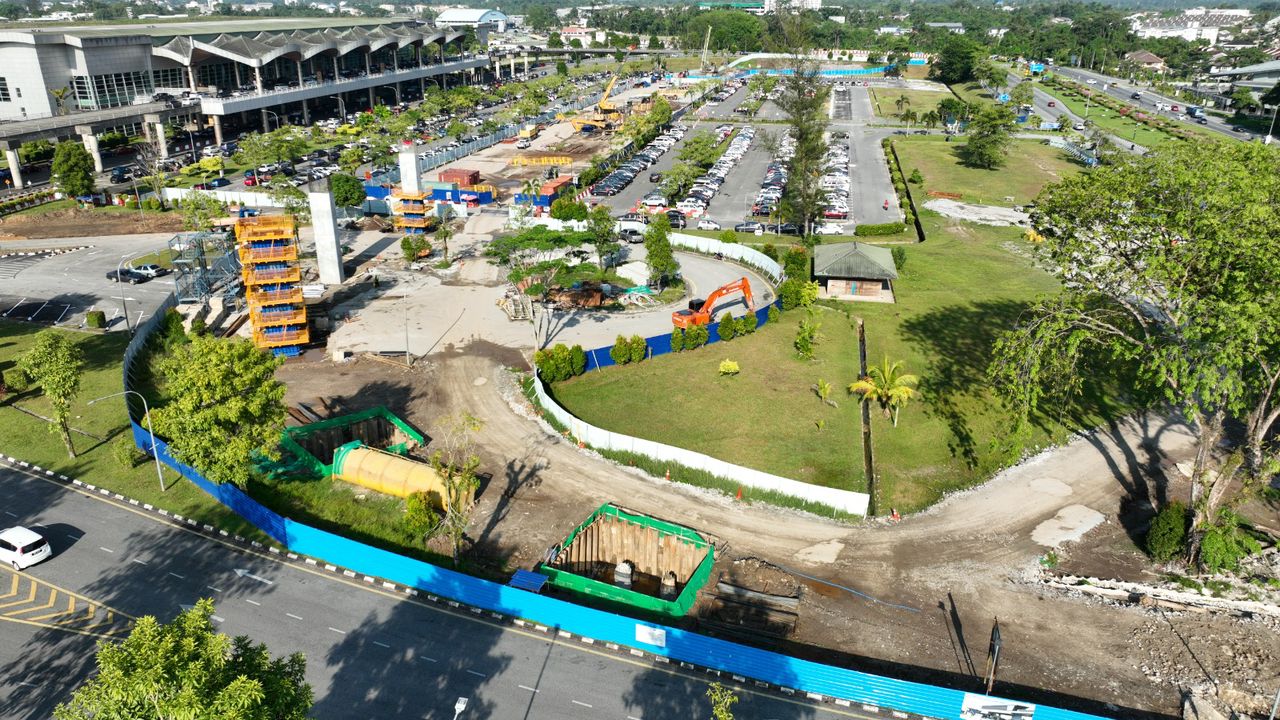
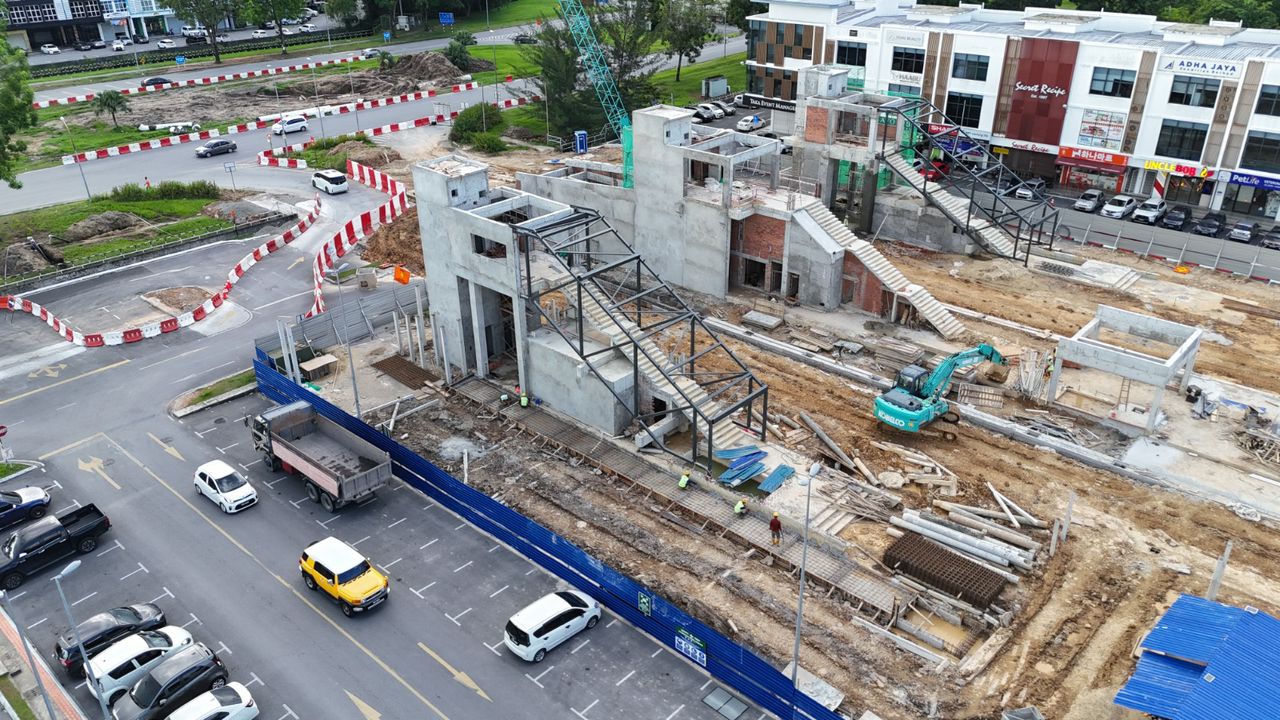
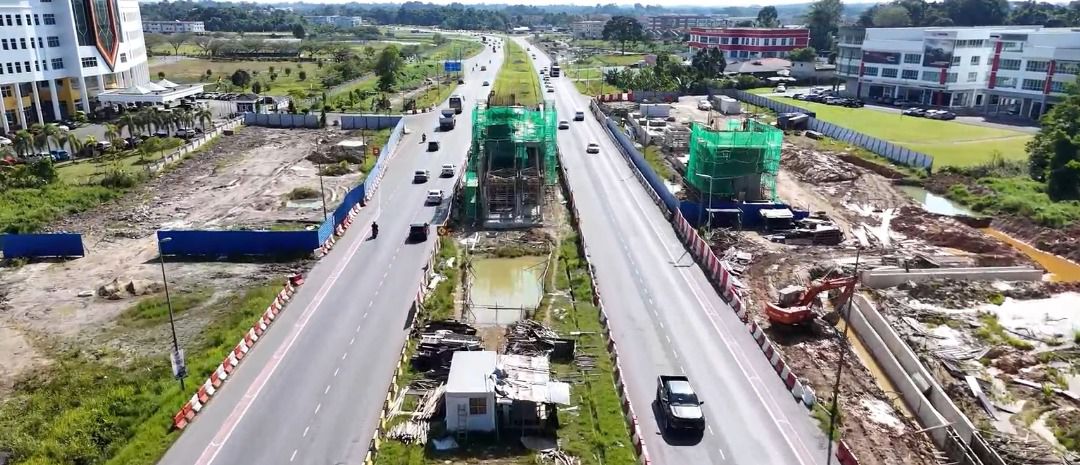
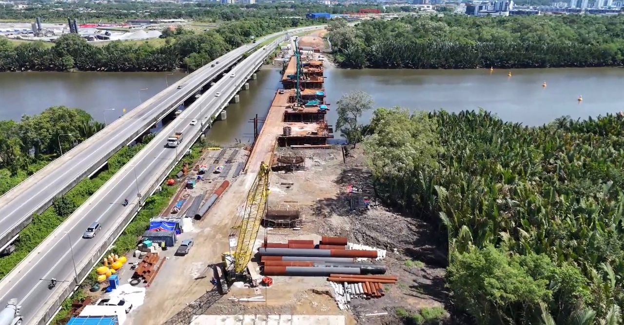
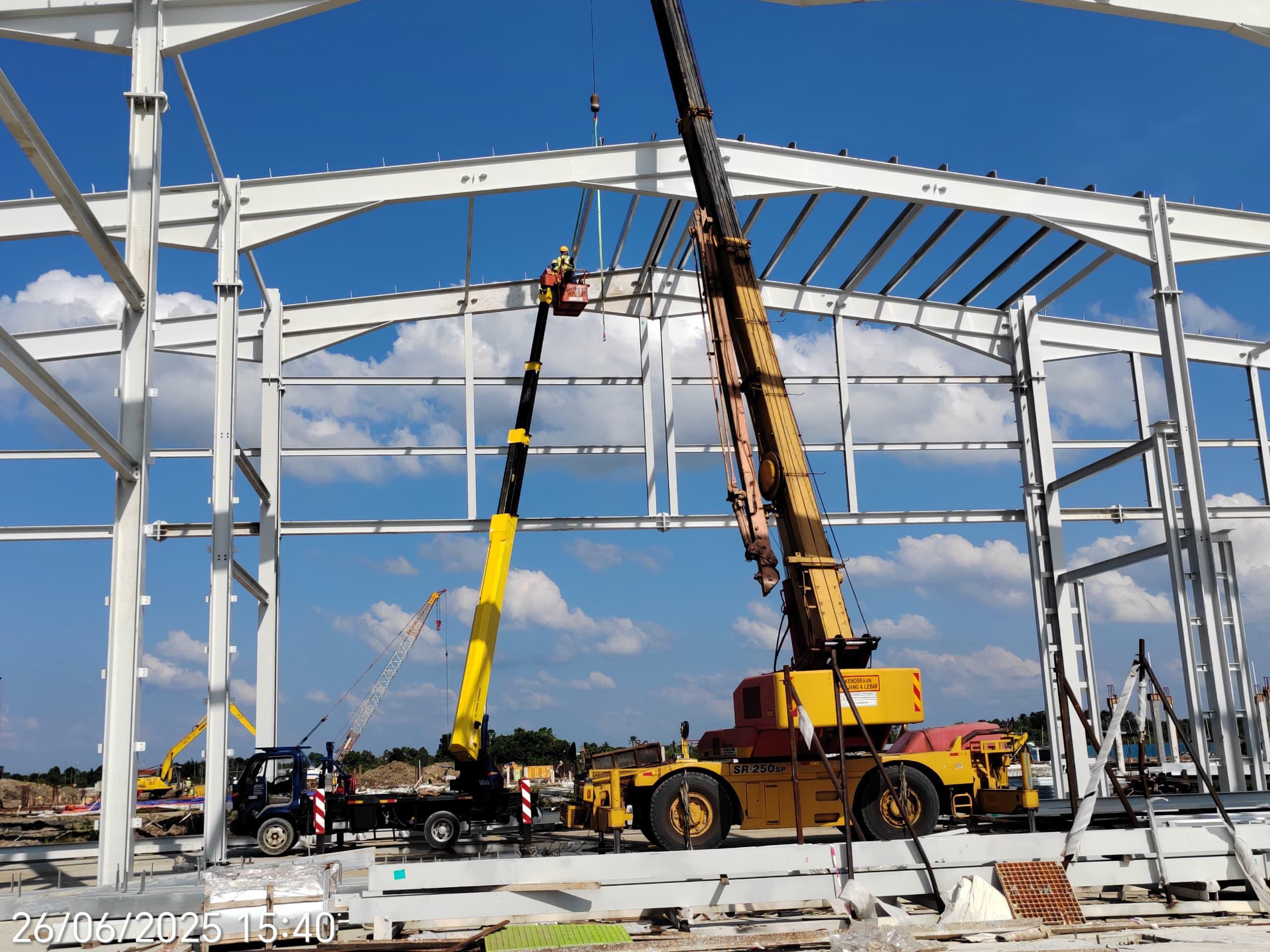
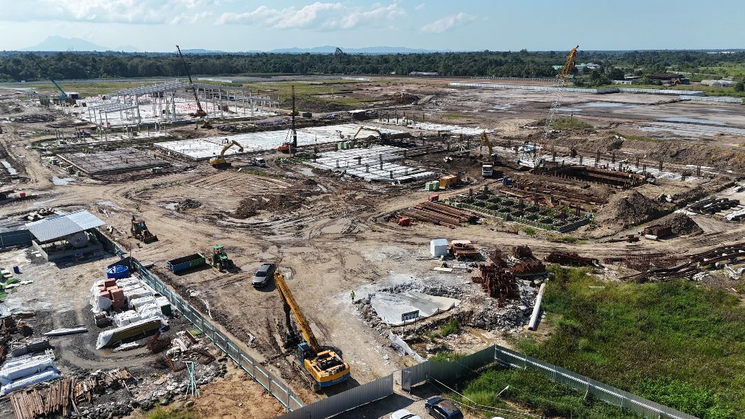
Pre-engineering and soil investigation activities throughout Blue Line and Red Line


![]()
Sarawak Metro Sdn Bhd
(Company Registration No. 201801007738)


